What the Search Has Achieved
For most of its history, the Oak Island treasure hunt ran on stories. Accounts passed down through generations, growing more colourful with each retelling, sustained over two centuries of digging with little hard evidence to show for it. When Rick and Marty Lagina began their systematic search in 2006, the factual record of what lay beneath the island was thin: some old wood, some coconut fibre, a scrap of parchment pulled from a drill bit in 1897, and a lot of flooded shafts. The island's story was famous. The proof was not.
That has changed. Across 13 seasons, the Lagina operation has deployed carbon dating, dendrochronology, X-ray fluorescence, CT scanning, lead isotope analysis, laser ablation, muon tomography, archaeometallurgy, and seismic surveying. The result is not a solved mystery, but a body of scientific data that did not exist before. We know things about Oak Island today that no one knew in 2006 or ever before, and several of those things are no longer a matter of interpretation.
What Has Been Confirmed
The following conclusions rest on laboratory results, scientific dating, or direct physical observation by qualified professionals. They are not theories. They are the record as it stands.
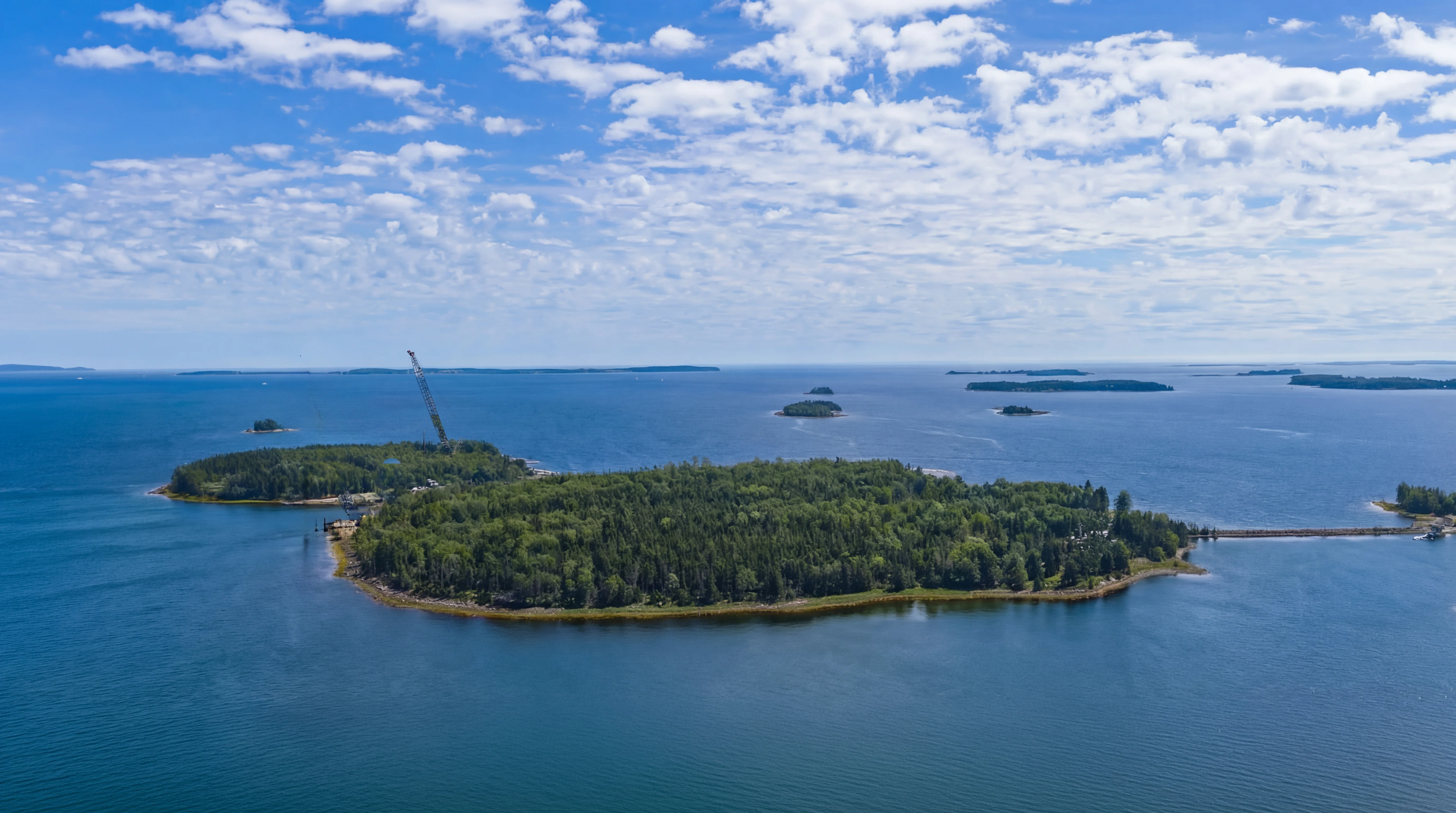
Non-native activity predating 1795. The Mi'kmaq, who inhabited Nova Scotia for thousands of years before European contact, did not quarry stone to build wells, did not lay cobblestone roads, did not forge iron, and did not import coconut fibre from the tropics. When these materials appear in the ground on Oak Island with scientific dates preceding the 1795 discovery of the Money Pit, the only possible conclusion is that non-native groups were present on the island long before the story officially begins. The evidence for this is no longer circumstantial. It is confirmed by multiple independent dating methods applied to materials recovered from multiple locations across the island.
 Mi'kmaq, the First Nation→
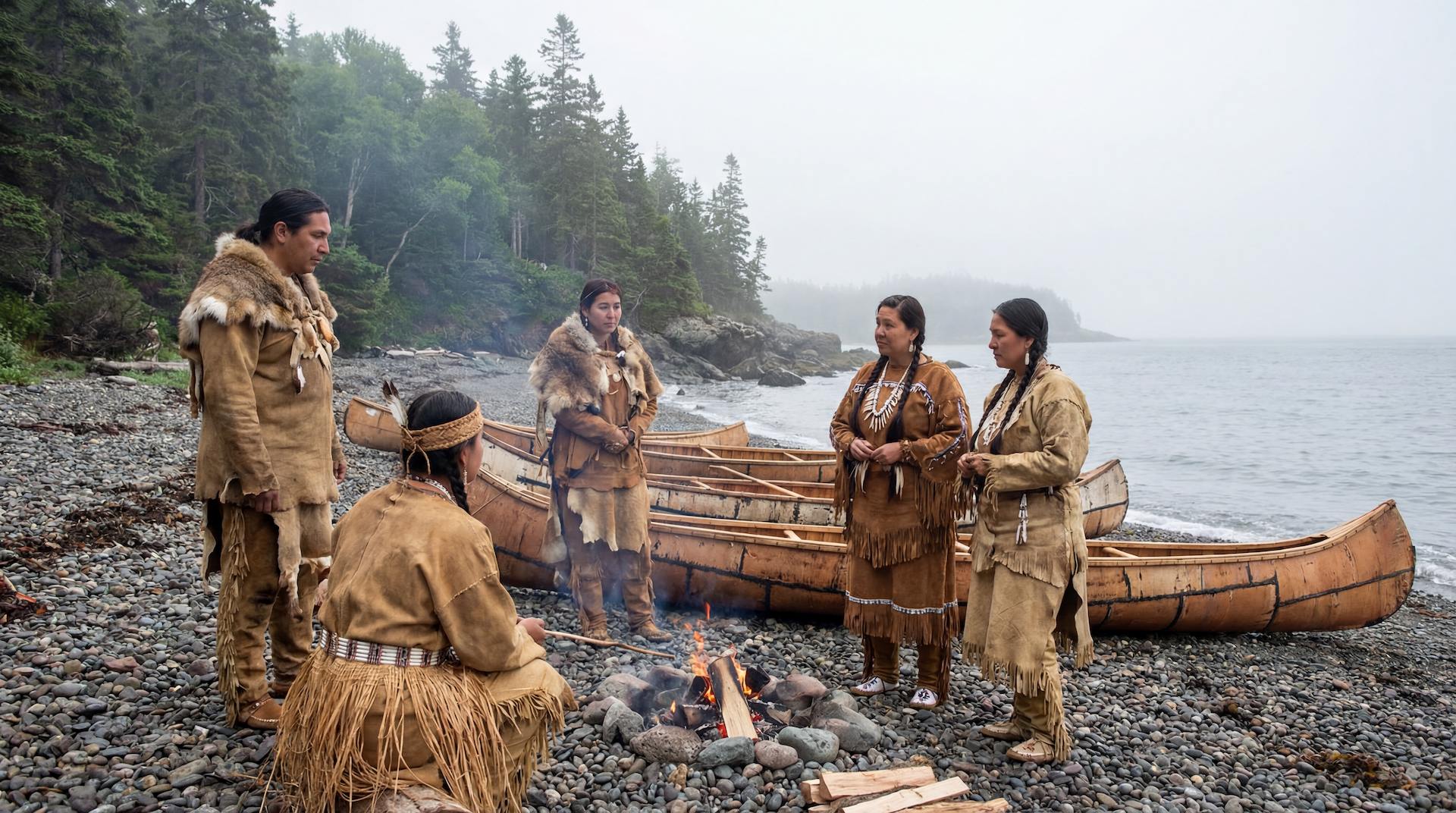
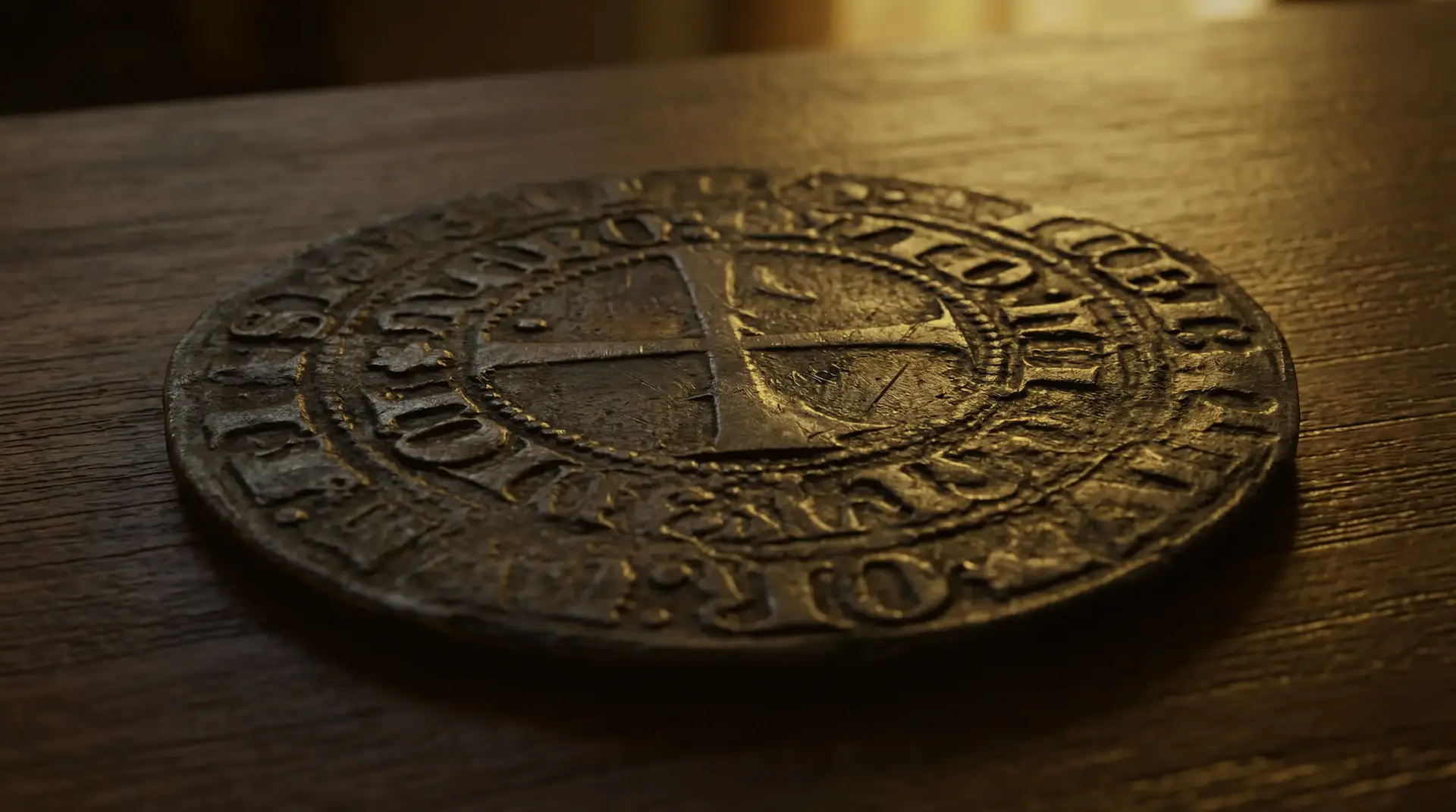
A 13th-to-14th-century horizon. Coconut fibre from Smith's Cove has been carbon-dated to 1260 to 1400 AD. Wood beneath a stone pavement in the swamp has been carbon-dated to the 1200s. A lead barter token from Lot 5, tested by laser ablation at the University of New Brunswick, returned lead isotope values that closely match those of the lead cross found at Smith's Cove in 2017, suggesting a common ore source. That cross was traced by Dr. Chris McFarlane to Southern France, from a mine that ceased production around 1300. A decorative lead piece from Lot 5, tested by laser ablation at the University of New Brunswick, returned lead isotope values that closely match those of the lead cross, suggesting a common ore source. A Portuguese Tornes coin presented in Season 13, attributed to the 1849 Pitblado incident, was minted between 1369 and 1383 under King Ferdinand I. Taken together, these dates cluster around the 13th and 14th centuries and point to activity by people with access to Mediterranean materials, tropical commodities, and European coinage.
 Lead cross→
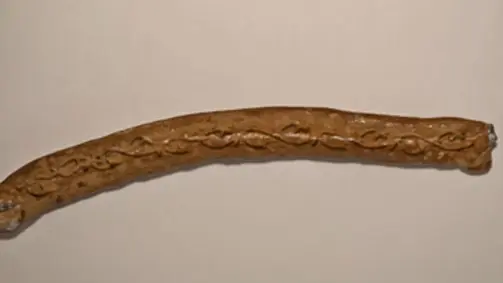 Lead Decorative Piece→
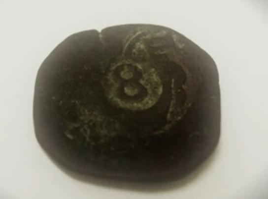
A second horizon in the Age of Discovery. A Spanish 8 maravedis coin dated 1652 was recovered from the swamp. Two English coins bearing the image of King Charles II, dated 1673 and 1694, were found on Lot 16. An 11 maravedis coin dated 1598 was recovered from Smith's Cove in 1965. Seven King George II coppers (1727-1760) came from Lot 24. The U-shaped timber structure at Smith's Cove has been dendro-dated to 1769 by Dr. Colin Laroque at the University of Saskatchewan with what he described as 99.99 percent certainty. Wood recovered from the Money Pit at 102 feet returned carbon dates of 1655 to 1695. A second timber from the same depth dated to 1672 to 1780. The 16th through 18th centuries produced a dense layer of coins, construction timber, and military artifacts across the island, consistent with sustained or repeated visits by European groups over a period of at least two hundred years.
 Spanish 8 Maravedis copper coin (swamp)→
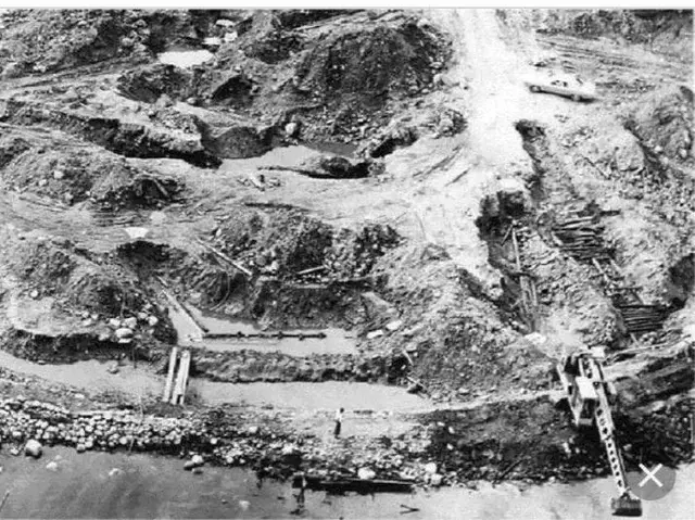 U-shaped wooden structure→
Precious metals in the Money Pit. Dr. Ian Spooner and Dr. Fred Michel's groundwater testing programme detected gold, silver, copper, and zinc in water samples drawn from boreholes across the Money Pit area. The highest concentrations appeared in a zone they designated the Baby Blob, just west of the Garden Shaft. A metal fragment recovered from Borehole D-2 at 90 feet tested positive for gold with a copper content consistent with South American rose gold. A second gold-bearing fragment from Borehole CD-4.5 at 75.5 feet showed nearly identical composition. Dr. Christa Brosseau at Saint Mary's University confirmed that the copper content in both samples was typical of gold that originated in South America. These are not traces that could be explained by natural mineralisation of the bedrock.
 Gold-Copper Alloy Fragments (Tumbaga)→
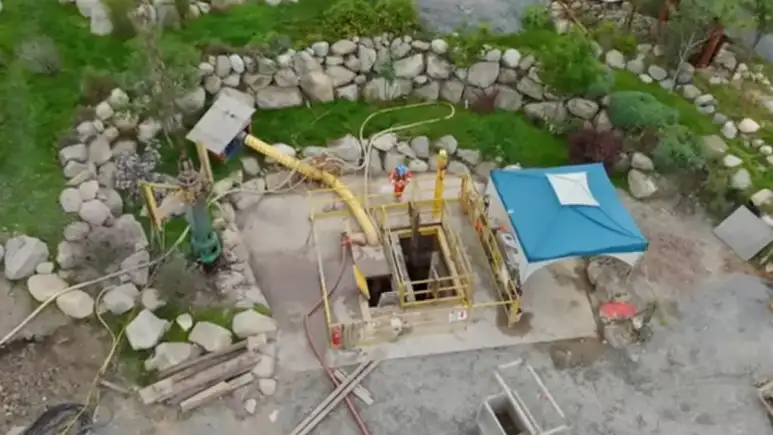 Garden Shaft→
Human remains in the Money Pit. Bone fragments recovered from Borehole H-8 at 162 feet were identified as belonging to two individuals. Carbon dating placed both in the 1600s. DNA analysis indicated one individual of Western European origin and one of Middle Eastern descent. The bones were found at a depth and in a context inconsistent with any known burial practice on the island and predating the era of organised treasure hunting.
Nolan's Cross
Five cone-shaped boulders, each weighing several tons, form a cross measuring 867 feet north-south and 360 feet east-west. The formation was discovered by treasure hunter Fred Nolan in 1981 and independently surveyed by fellow Nova Scotia surveyor William Crooker in 1991. The symmetry is precise. The arms form four right angles. A sixth stone, made of softer sandstone and carved with what appears to be a human face, sits at the exact centre. Stonemasons brought to the island during Season 4 agreed that the smoothness of the cone stones' undersides was not natural but evidence the boulders had been dragged a considerable distance. No quarry source for stones of this size exists on the island.
Italian archaeoastronomer Adriano Gaspani of the Politecnico di Milano analysed the alignment of the cross using the same methodology applied to Stonehenge, Newgrange, and the Egyptian pyramids. His conclusion was that the stellar positions corresponding to the cross date to approximately 1217 AD. Gaspani is among the foremost practitioners of archaeoastronomy in Europe, and his methods are published in peer-reviewed scientific literature. Archaeoastronomy is a recognised scientific discipline, applied routinely to megalithic sites worldwide. If the cross is a deliberate human construction, and the surveying evidence strongly indicates that it is, then Gaspani's date deserves the same weight given to archaeoastronomical dating of any other site.
A date of 1217 AD places the cross squarely in the era of the European Religious Military Orders like the Knights Templar and the Hospitaller, who were at the height of their power and skilled organisers, sailors and navigators. It is also consistent with the 13th-century carbon dates from the swamp and the coconut fibre from Smith's Cove. If the cross, the swamp construction, and the alleged Smith's Cove filtration system belong to the same period of activity, they represent a coordinated project of significant scale on an island in the North Atlantic at least 275 years before Columbus. If one of them fails the test of time, we still have the other two.
 Real or Not: The Geometry of Nolan's Cross→
Why Oak Island
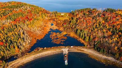
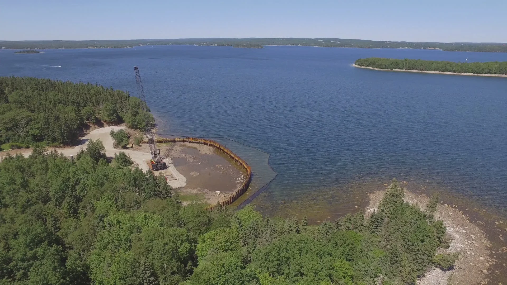
Of the many questions surrounding the mystery, one of the easiest to answer is why someone would choose this particular island. Oak Island sits inside Mahone Bay, one of the largest and most accessible natural harbours on the Atlantic coast of Nova Scotia. The bay opens directly south onto the Atlantic Ocean, with a mouth stretching roughly 15 kilometres between the Aspotogan Peninsula to the east and the First Peninsula of Lunenburg to the west. For a vessel approaching from the south, from Europe, the Caribbean, or anywhere along the Atlantic seaboard, Mahone Bay presents one of the widest front doors on the entire Maritime coast.
The approach is not only wide but unmistakable. Aspotogan Hill, the highest point on Nova Scotia's south shore, served as a landmark for transatlantic navigation for centuries. Captain John Montresor, the British military engineer who produced the definitive 1768 map of Nova Scotia, labelled it on his chart as "remarkable for being seen at a great distance." Sailors arriving from Europe and the West Indies used the hill to fix their position long before they could make out individual features of the coastline. Samuel de Champlain, who charted the bay in 1604, labelled the islands "Les Martyrs" on his map "The Martyrs". No record explains what martyrs from where. The bay contains as many as 365 islands by some counts, providing sheltered anchorage and concealment once inside.
The prevailing summer winds along this coast blow from the southwest, which means a vessel under sail approaching from the south would be carried directly into Mahone Bay by the wind and the current. For anyone seeking a destination on the Nova Scotia coast, especially in an era before reliable charts and navigational instruments, the combination was close to ideal: the tallest landmark on the south shore marking the entrance to a wide, sheltered bay full of islands, with the wind at your back. Oak Island sits in the western half of the bay, roughly four miles from the open Atlantic, protected by the outer islands but accessible by any vessel that could navigate the bay's channels. The question of why someone chose Oak Island over hundreds of other islands along the coast is, in practical terms, the simplest part of the puzzle.
The Money Pit
The original shaft, discovered in 1795 by Daniel McGinnis, John Smith, and Anthony Vaughan, has been the focus of nearly every expedition. After 230 years of repeated excavation, collapse, and re-excavation, the ground beneath the eastern drumlin is so thoroughly disturbed that isolating original deposits from searcher-era debris is one of the operation's central challenges.
The current understanding, developed across Seasons 9 through 13, is that the original shaft collapsed into a natural geological feature called the solution channel, a cavity in the island's anhydrite and gypsum bedrock formed by the dissolution of soluble rock over millennia. The team believes that whatever was deposited in the Money Pit fell through this channel and now rests at depths of 150 to 220 feet or deeper, mixed with collapsed timbers, clay, and the debris of every failed recovery attempt since 1803.
Season 13 has targeted the solution channel with the most aggressive drilling programme in the search's history, using a telescoping caisson method capable of reaching 230 feet. Soil testing has confirmed elevated levels of silver in this zone. The Pitblado coin, if its provenance is accepted, places a 14th-century Portuguese coin in the auger cuttings from roughly this depth during the 1849 Truro Company operation. If something is indeed down there, the question is whether it can be reached and recovered through 200 feet of collapsed, waterlogged ground without destroying it in the process.
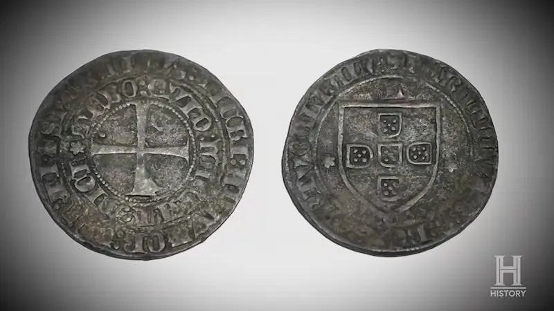 Coin - Portuguese Tornês (Pitblado coin)→
The Island Beyond the Pit
One of the most significant shifts in the Lagina era has been the expansion of the search beyond the Money Pit itself. The island's surface and near-surface have produced an archaeological record that, in some respects, is more informative than the deep drilling.
The Swamp. What was once dismissed as a natural bog has produced a cobblestone road, wooden ship components carbon-dated to as early as the 8th century, iron marlinespikes from the 17th century, and a stone wharf. The road, estimated by Steve Guptill at 460 feet, was built over a wood cribbing structure designed to support heavy loads across boggy terrain. Fred Nolan spent decades arguing the swamp was man-made. Dr. Ian Spooner's core analysis confirmed it is relatively young, possibly only a few hundred years old, and may have formed around and above structures that were already in place.
 The Swamp→
Lot 5. An uninhabited lot with no known history of occupation has produced six confirmed Roman-era coins, a Tudor portcullis coin from the 1500s, Venetian trade beads linked to the Knights of Malta, a 14th-century lead barter token matched by isotope analysis to the Smith's Cove lead cross, a 13-foot-diameter circular stone pit whose dimensions match the original Money Pit, and pottery spanning the 14th through 18th centuries. The concentration of artifacts from multiple centuries on a single lot without any known habitation history remains unexplained. The structure that has been found there is an enigma in itself, we have no idea what it was and who used it.
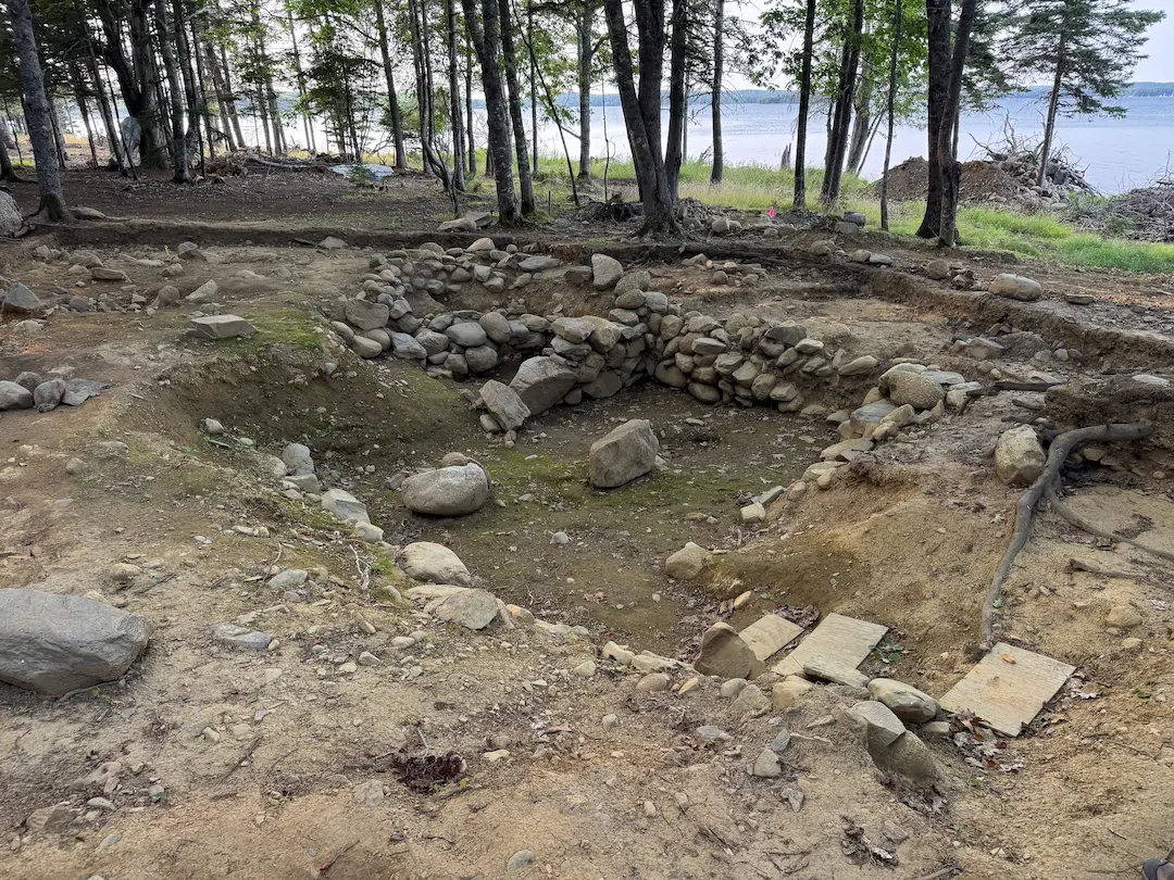 Lot 5 Stone Feature→
Smith's Cove. The 2018-2019 cofferdam excavation confirmed the artificial beach first described in 1850 and exposed the U-shaped structure (dendro-dated 1769), an L-shaped structure, a slipway, a French drain system, and an unexplained concrete wall with rubber tubes. A single box drain matching the 1850 descriptions was located. The convergence point where the five drains allegedly merge into a flood tunnel was not found.
 Smith's Cove→
Surface Finds. Metal detection across the island has produced over 40 coins spanning Roman, medieval, colonial, and post-colonial periods, alongside military buttons, musket balls, iron tools, lead seals, jewellery, and ceramics. The geographic distribution of these finds is not random. British military artifacts cluster on Samuel Ball's former properties. Spanish-era coins concentrate in the swamp and at Isaac's Point. Roman and medieval coins cluster on Lot 5. This patterning suggests different groups used different parts of the island at different times.
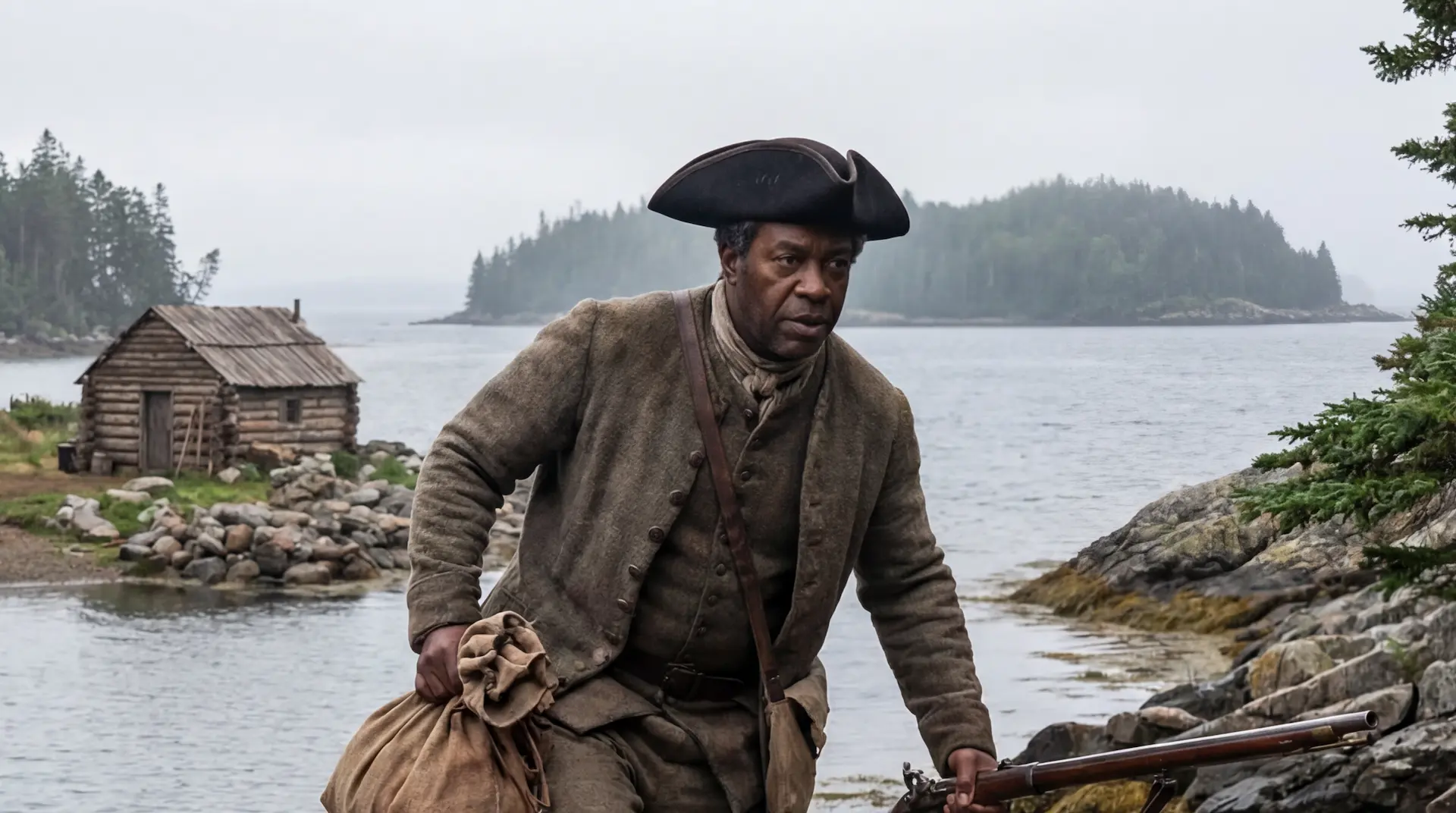 Samuel Ball, the Unlikely Landowner→
The Theories: An Honest Assessment
Multiple theories have been proposed to explain who was responsible for the activity on Oak Island and what they deposited. Each is treated in detail in its own article on this site. What follows is a brief assessment of which theories are best supported by the current evidence and which are not.
Knights Templar. The strongest circumstantial case. The 13th-century dates from the swamp and Smith's Cove fall within the Templar era. The lead cross from Smith's Cove was traced to Southern France, a Templar heartland, from a mine that closed around 1300. The Pitblado coin is Portuguese, from the period when Templar assets were transferred to the Order of Christ. Gaspani's dating of Nolan's Cross to 1217 fits precisely. None of this proves Templar presence on the island. All of it is consistent with it.
 The Knights Templar→
Spanish or Portuguese maritime activity. Well supported by the artifact record. Spanish coins from 1598, 1652, and possibly earlier have been found across the island. The barrote-type decking spike from the swamp matches Spanish galleon hardware. The Pitblado coin is Portuguese. The Portuguese were the first Europeans to chart the Nova Scotia coast, and the Order of Christ funded their voyages. Spanish and Portuguese presence in the region during the 16th and 17th centuries is historically documented. Whether they deposited something on the island or simply visited it is a different question.
 The Portuguese: The Order of Christ→
British military. Supported by the concentration of George II coins and military artifacts on Samuel Ball's properties, consistent with an 18th-century military presence. Fred Nolan's theory linking this to the 1762 sacking of Havana has not been confirmed, but the artifacts are real.
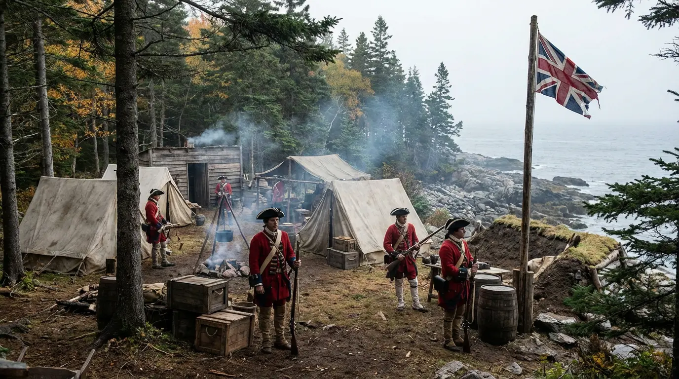 The Secret British Military Bank→
Francis Bacon / Shakespeare manuscripts. Rests primarily on the parchment fragment from Borehole H-8, the leather bookbinding scraps from the same hole, and various cipher interpretations. The parchment is real and was found at depth. The theory's strength depends on whether one accepts the cipher analyses, which have not been independently validated. The human remains dated to the 1600s are consistent with the Bacon timeline but do not specifically support it over other 17th-century theories.
 Francis Bacon's Secret Island→
 William Shakespeare, the Lost Works→
Captain Kidd / Pirate treasure. The first theory ever proposed, referenced in the earliest 1849 newspaper account. No physical evidence has been found linking Kidd or any other named pirate to Oak Island. The engineering sophistication suggested by Smith's Cove exceeds what is typically attributed to pirate operations.
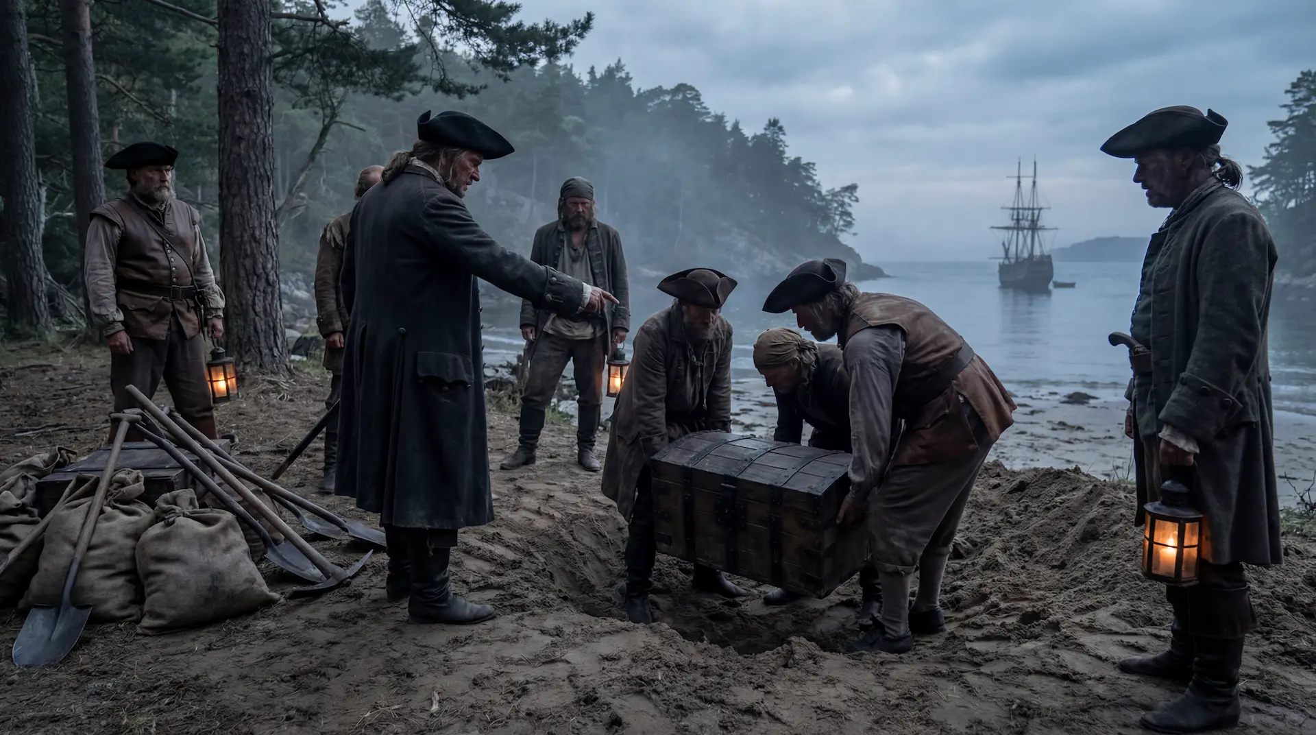 Pirates→
 Captain Kidd and the Hidden Maps→
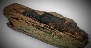
Vikings / Norse. A wooden ship's railing from the swamp was carbon-dated to as early as the 8th century. Dates like these seem outliers but if accurate, raise the possibility of very early Norse contact. The evidence is limited to these two objects and remains speculative.
 Vikings→
What Remains Unresolved
The central questions of the Oak Island mystery remain open. No one has identified with certainty who built the Money Pit or the infrastructure at Smith's Cove. No one has determined what was deposited. No one has successfully recovered a treasure or a document or any object that definitively answers the question of purpose. The alleged flood tunnel from Smith's Cove has never been traced as a continuous passage. The identity of the two individuals whose bones were found at 162 feet is unknown. The relationship between the 13th-century and 17th-century activity has not been established: whether they represent the same group returning, different groups building on earlier work, or unrelated projects separated by centuries.
 Human bone fragments (2 individuals)→
The solution channel beneath the Money Pit has been identified as the most promising target for recovery. Water testing has confirmed the presence of silver and gold in this zone. The operational challenge of reaching and excavating material at 200-plus feet through waterlogged, collapsed ground remains formidable. Season 13's telescoping caisson programme represents the most direct attempt yet to reach the bottom of the channel.
Where the Evidence Points
The evidence does not yet tell us what is buried on Oak Island. It does tell us that the island was used by non-native groups, in all probability beginning in the 13th century and continuing through the colonial era, for purposes that required stone construction, iron tools, tropical materials, and engineering on a scale that implies organised, well-funded expeditions rather than casual visits. The coconut fibre, the stone road, the box drains, the lead cross, the coins, and the dendro-dated timbers are not stories. They are objects in the ground with scientific dates attached to them.
If Gaspani's archaeoastronomical dating of Nolan's Cross is accepted, the island also contains a monumental cultural object, a 360-by-867-foot stone cross aligned to the stars of 1217 AD, that would rank among the most significant pre-Columbian European structures in North America. The cross has been surveyed, measured, and independently verified. The boulders have been examined by stonemasons who confirmed they were moved and placed by human hands. Whether the academic mainstream will engage with this evidence is a separate matter from whether the evidence exists. It does.
 The Oak Island Star Map→
After 231 years, six lives lost, and more money spent than any treasure hunt in history, the search has reached a point where the right question is no longer whether something happened on Oak Island. The question is what happened, who did it and whether the answer still lies in the ground.
This article reflects the state of the evidence as of March 2026. It will be updated annually as new findings emerge.