Long before Daniel McGinnis found a depression in the earth in 1795, long before the first French fishermen built cabins near Chester in the 1750s, and long before any European ship entered the bay the Mi'kmaq called Mushamush, the land that includes Oak Island belonged to the Mi'kmaq. The L'nu'k, as they call themselves, meaning simply "the people," have lived in what is now Nova Scotia since the close of the last ice age. The area encompassing Oak Island falls within the Mi'kmaw district once known as Segepenegatig, in modern orthography Sipekne'katik, near its southwestern boundary with Kespukwitk. Both districts are part of a vast territory the Mi'kmaq call Mi'kma'ki, stretching from the Gaspe Peninsula in the north to parts of Maine in the southwest, and from Newfoundland in the east to the Saint John River in the west. Whatever was built on Oak Island was built on their land.
 The Real Daniel McGinnis of Oak Island→
Mushamush, Merligueche, and Mi'kma'ki
2 min
The Mi'kmaq named what they knew. The bay we call Mahone Bay was Mushamush, sometimes written Mush-a-Mush, after the river that empties into it from the inland lakes. The village that became Lunenburg was Merligueche, recorded variously as Merliguish, Merligash, or in French Merliguèche, meaning "whitecaps," for the waves piling up off the headland. Halifax Harbour was Kjipuktuk, "the great long harbour," anglicised as Chebucto. The full territory was Mi'kma'ki, or in older orthography Mi'gma'gi, encompassing all of present-day Nova Scotia, New Brunswick, Prince Edward Island, the Gaspe Peninsula of Quebec, parts of Maine, and the southern coast of Newfoundland.
Within Mi'kma'ki sat seven districts, each governed by its own sakamow and represented at the Sante' Mawio'mi, the Grand Council. The seven were Kespukwitk in the southwest, Sipekne'katik in the central south, Eskikewa'kik on the eastern shore, Unama'ki on Cape Breton, Epekwitk aq Piktuk covering Prince Edward Island and Pictou County, Siknikt on the northern mainland and parts of New Brunswick, and Kespek along the Gaspe. Oak Island sits in Sipekne'katik, near its southwestern boundary with Kespukwitk.
The closest Mi'kmaw community to Oak Island today is the Sipekne'katik First Nation at Indian Brook, in Hants County, about 80 kilometres to the north. The Acadia First Nation, the band whose territory covers much of the south shore, was the band contacted by Nova Scotia heritage authorities in September 2021 after the swamp pottery find.
The Mi'kmaq understood the land itself as a living body. In one tradition recorded by Marion Robertson in Red Earth, the people imagined Nova Scotia as a mighty giant with one foot at Yarmouth, the other at Gaspe, and his head the island of Cape Breton. They called the territory Megumaagee, derived from megakumegek, meaning "red earth country." This was not empty wilderness. It was a country carefully governed and divided into hunting districts, each overseen by a chief who assigned territories to families each spring and fall. No hunter was permitted to overstep the bounds of his land, and each killed only what was needed. The preservation of fish and game was a matter of collective survival.
Around Mushamush specifically, the Mi'kmaq lived close to the sea in summer and inland in winter, following the rivers between coast and lake. Indian Point, just outside the present-day Town of Mahone Bay, was a documented summertime settlement where the Mi'kmaq enjoyed the sheltered waters and plentiful food sources. From there they navigated the bay's roughly 365 islands by birchbark canoe, following routes that had been travelled for thousands of years. The Mahone Bay Museum records continuous Mi'kmaq habitation in the area for over 13,500 years, and acknowledges that the town's current authority over land derives from the Peace and Friendship treaties signed with the British Crown beginning in 1725.
Eleven Thousand Years at Debert
2 min
The deep archaeological record of Mi'kmaw presence in Nova Scotia begins about 100 kilometres north of Oak Island, at a site called Debert. Discovered in 1948 in central Nova Scotia, the Debert Palaeo-Indian site has been dated by radiocarbon to 11,026 ± 225 years before present, making it one of the best-documented Palaeo-Indian Clovis-tradition sites in northeastern North America. Excavations by George MacDonald of the National Museum of Canada in the 1960s recovered large quantities of chipped stone tools and fluted projectile points, indicating that the site was used by hunters of big game, including caribou, as the glaciers retreated and the tundra gave way to forest. The Debert site lies within what is now identified as Mi'kma'ki, and the archaeological record from Debert forward documents continuous human occupation of the region across more than a hundred centuries.
Western archaeology has traditionally divided this precontact sequence into Palaeo-Indian (around 11,000 to 9,000 BP), Archaic (9,000 to 2,500 BP), and Ceramic or Woodland (2,500 to 500 BP). These names describe technology and subsistence, not people. In 2006, Mi'kmaw archaeologist Roger Lewis, working with Mi'kmaw Elders, developed a parallel chronology that names the people themselves. Published with revisions in a 2008 paper by Donald Julien, Tim Bernard, Ruth Holmes Whitehead, and Lewis under the title "Paleo Is Not Our Word," the sequence renames the Palaeo-Indian period as Saqiwe'k L'nuk, "Ancient People," the Archaic as Mu Asami Saqiwe'k, "Not So Recent People," the Ceramic as Kejikawek L'nuk, "Recent People," and the historic post-contact period as Kiskukewe'k L'nuk, "Today's People." The point is not cosmetic. Where the older terminology divides the people of Mi'kma'ki across time, the Mi'kmaw chronology insists on continuity. The Mi'kmaq are not the descendants of unrelated populations who happened to occupy the same ground in succession. They are the same people who walked at Debert.
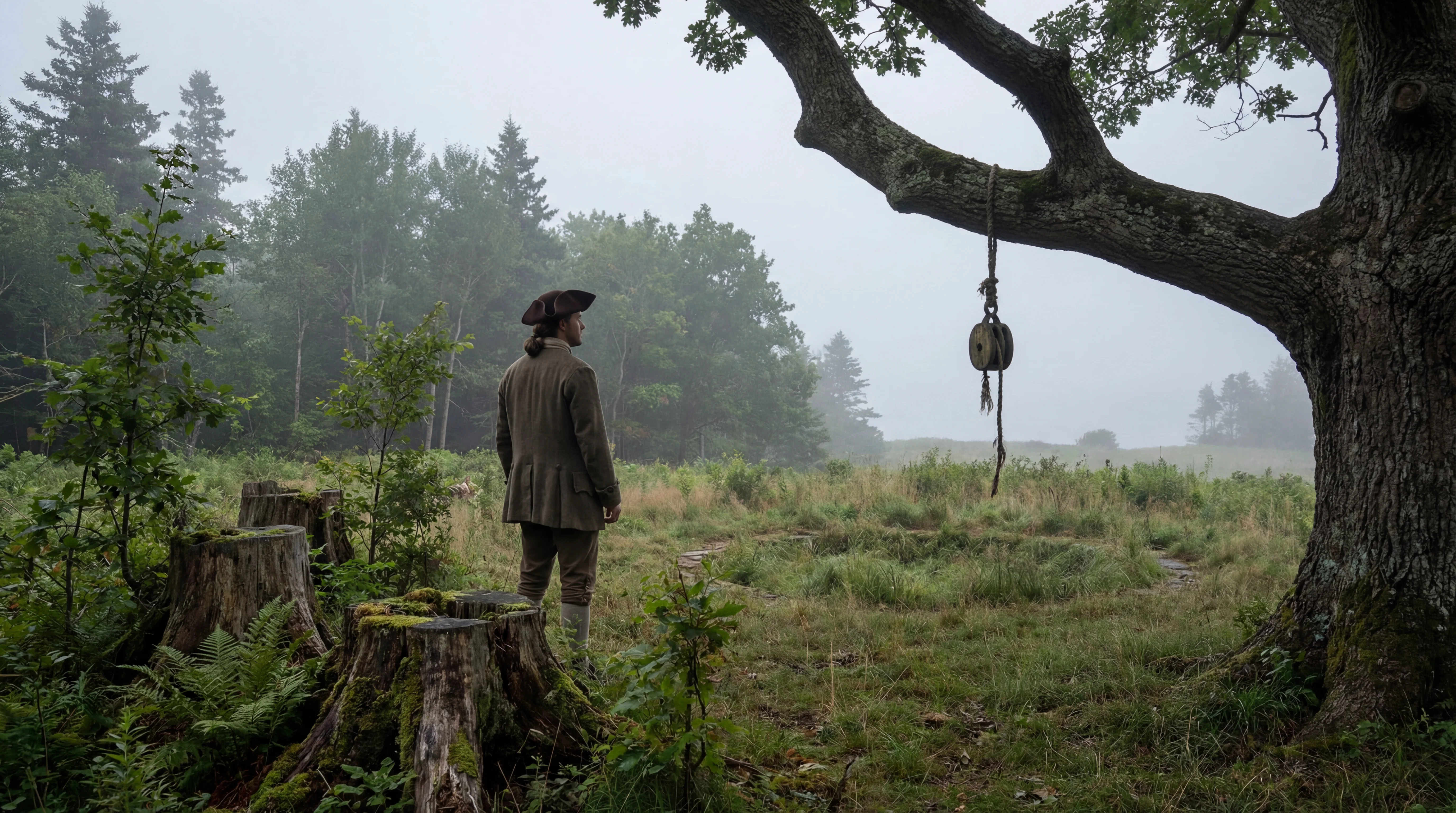
The implication for Oak Island is direct. When Daniel McGinnis stood at the edge of his Money Pit depression in 1795, he was the latest arrival in a sequence stretching back roughly five hundred generations of continuous human presence in this region.
The Six Worlds
2 min
The world the Mi'kmaq inhabited was not the three-tier cosmos of medieval Christianity, with heaven above, earth in the middle, and hell beneath. It was six worlds, parallel and permeable, and the boundaries between them were the most dangerous places a person could stand.
Religious historian Anne-Christine Hornborg, in her study Visiting the Six Worlds published in the Journal of American Folklore in 2006, identified the cosmology preserved in Mi'kmaw tales collected from the seventeenth century through the twentieth. The six worlds are the World beneath the Water, the World beneath the Earth, the Earthworld, the World above the Earth, the World above the Sky, and the Ghostworld, sometimes called the Land of Souls. Each world is inhabited by beings who, from their own perspective, perceive themselves as people, with families, wigwams, and ordinary lives. A beaver in the World beneath the Water sees the poplar bark as food and its lodge as a home. So does a human in the Earthworld. The bodies differ; the experience of dwelling does not.
The keeper of access between worlds was the buoin, sometimes spelled puoin, bouhinne, or autmoin in early French accounts. The word itself probably derives from a stem meaning "mystery," and it referred both to the power and to those who possessed it. Buoin was not the European notion of magic. It was the active essence behind the seasons, the storms, the recovery of the sick, the success of the hunt. Some humans had more of it than others. Some animals had more of it than humans. The buoin worked between the worlds, healing the sick by retrieving their wandering souls, learning the location of the moose by entering the beaver's dream. Access came not through trance, as in the Siberian shamanism that Mircea Eliade made into a universal model, but through dreams. A buoin slept, and in sleeping travelled.
The principle that underlay this cosmology is what anthropologist Eduardo Viveiros de Castro called Amerindian perspectivism. All beings share a spiritual unity but a corporeal diversity. They are all subjects, all persons, all part of a greater power. What separates them is the body each inhabits. To switch bodies is to switch worlds. The danger of the journey was real, and a buoin always carried a bundle of objects imbued with power, or relied on an animal guardian spirit, when entering another world.
This is the cosmology in which the petroglyphs at Kejimkujik were carved, in which the prophecy of Glooscap was delivered, and in which a man named Jimmy Kaizer, sleeping in a cabin on Oak Island in 1965, would be visited.
The Petroglyphs of Kejimkujik
2 min
The Mi'kmaq recorded their world in stone. At Kejimkujik National Park in southwestern Nova Scotia, over 500 petroglyphs have been carved into glacially polished slate outcrops along the shores of Kejimkujik Lake and George Lake, forming one of the largest collections of rock art in eastern North America. The oldest carvings are estimated at 800 to 1,000 years old. The images include caribou, bears, peaked caps traditionally worn by Mi'kmaw women, geometric patterns of double-curve design, and, from the period of European contact, detailed renderings of sailing ships, a French soldier, and a compass pointing in the four cardinal directions. Parks Canada identifies these petroglyphs as Mi'kmaw history books, carved into rock because the culture relied on oral tradition rather than written language before European contact.
The illustrations reproduced in Robertson's Red Earth were traced from the Kejimkujik petroglyphs by George Creed in 1887 and 1888. Creed was the first person to document rock art in Nova Scotia, and his careful tracings preserved images that have since weathered or been damaged. Among the carvings he recorded are detailed representations of Mi'kmaw clothing, canoes, hunting scenes, and spiritual symbols including the eight-pointed star.
The Mi'kmaq also developed a hieroglyphic writing system. In the late seventeenth century, the French Recollet missionary Chrestien Le Clercq observed Mi'kmaw children using symbols on birchbark and adapted what he saw for use in religious instruction. The system was later expanded by Abbe Pierre Maillard for Catholic liturgical use, and it endured into modern Mi'kmaw practice. By the early twentieth century it was being described as the oldest writing system for an Indigenous language in North America north of Mexico.
The petroglyphs are situated at places the Mi'kmaq considered locations of power. In one tradition, beings called megumoowesoo lived in the rocks near water and were the original creators of the carvings. Read within the six-worlds cosmology described by Hornborg, the petroglyphs are not simply art. They are markers at the boundaries between worlds, made at places where the boundary was thin enough to cross.
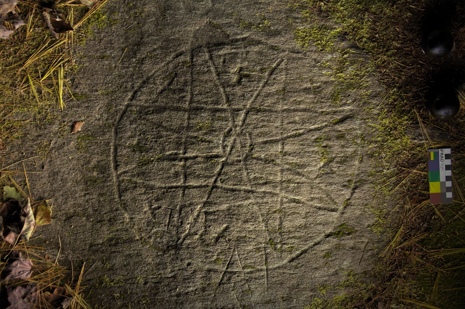 Bedford Petroglyph of an Eight-pointed Star→
Glooscap and the Sunrise Prophecy
3 min
The figure at the centre of Mi'kmaw oral tradition is Glooscap, also written Glous'gap or Kluskap, the embodiment of the Great Spirit who walked among the people as a teacher, warrior, and healer. In the creation story compiled by Mi'kmaw Grand Council member Stephen Augustine and published in 1991, creation unfolded in seven stages. Kisulk the Creator made Niskam the Sun in the shape of a circle. The Creator then made Sitqamuk, the Earth, also in circular shape. A bolt of lightning struck the Earth, and Klu'skap was created. He appeared lying on the ground with his head pointing east and his arms and legs pointing in the other three cardinal directions. Another lightning bolt brought fire, and Klu'skap saw the animals, the vegetation, and the birds. A third gave him human form. Kisulk sent Nukumi, his grandmother, made from a stone, to guide him. Then came Netawansum his nephew, made from the foam of the ocean blown onto the sweetgrass. Last came his mother Nikanaptekewisqw, born from a tree leaf warmed by the sun. The four lived together for a long time. When Klu'skap and his grandmother prepared to travel north, Klu'skap left instructions that seven sparks from the Great Council Fire would become seven men and seven more sparks would become seven women, and together they would form the seven families who would disperse into the seven districts of Mi'kma'ki.
Glooscap's departure from Mi'kma'ki, in the tradition recorded by both Robertson and RunningWolf, took place on the shores of the Minas Basin in the Bay of Fundy, less than 150 kilometres northeast of Oak Island. In Robertson's account, Glooscap held his farewell feast at Cape d'Or, then travelled to Spencer's Island where he ate his last meal, overturning his cooking kettle and transforming it into a small round island. His two dogs, still sitting on their haunches, he turned to stone. From Spencer's Island he stepped across the water to Blomidon, where he called a great whale to carry him across the ocean to the far land in the west.
 Glooscap Stone→
In RunningWolf's telling, Glooscap gathered the people and animals on a beach of the Sunrise Ocean and delivered a prophecy. He foresaw three invasions: warriors from the south, raiders from the northwest, and finally, arriving in enormous canoes from across the Great Waters of the Sunrise, bearded white men who would take the land away. He promised to return and to raise the people from their burial mounds. The assembled crowd listened carefully, knowing they must remember every word, and then Glooscap paddled north in his white canoe, which sometimes appeared as an ordinary canoe and sometimes took the form of a whole island. The whale Bootup swam alongside him for a time, then fell back, and Glooscap disappeared over the horizon.
The Glooscap tradition has been a recurring presence in the Oak Island story on screen. In Season 2 of The Curse of Oak Island, the show introduced the proposition that Prince Henry Sinclair, sailing from Orkney in 1398, was received by the Mi'kmaq as Glooscap, the white traveller from across the Sunrise Ocean. In Season 4, a carved stone face recovered from the island was identified as Glooscap in Mi'kmaq style. In Season 5 the team revisited the connection, noting that the Mi'kmaq ceremonial flag is the reverse of the Templar battle flag, with the eight-pointed star and crescent in mirrored positions. The Glooscap tradition is older and broader than any single identification with a European arrival, and its presence in the Mi'kmaw account of the eastern horizon is the point at which Mi'kmaq oral history and the long history of arrivals on these coasts have always met.
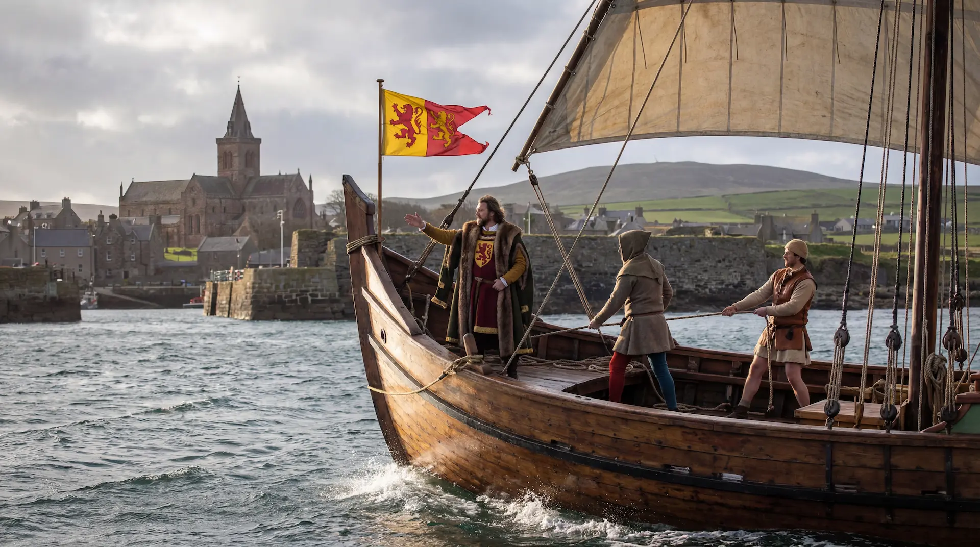 Henry Sinclair: The Zeno Voyage→
The Peace and Friendship Treaties
2 min
When the French and the English began contesting Acadia in the late seventeenth and early eighteenth centuries, the Mi'kmaq did not consider themselves their subjects. They had governed Mi'kma'ki for thousands of years through the Sante' Mawio'mi and the seven district chiefs, and they understood themselves as a sovereign nation. The treaties they signed with the British Crown, beginning with the Treaty of Boston of 1725 and continuing through the Peace and Friendship Treaties of 1726, 1752, and 1760 to 1761, reflect that self-understanding.
The interpretation of those treaties has been contested. Historian Stephen Patterson read them as the logical outcome of British military victory, by which the Mi'kmaq accepted British sovereignty over Nova Scotia after the collapse of French power in the region. William Wicken, in his 2002 study Mi'kmaq Treaties on Trial, argued the opposite. The treaty of 1726 was the work of local colonial officials, ratified at Annapolis Royal through a process of ceremony and community confirmation that followed Mi'kmaw protocols. Its key clause stated that the Mi'kmaq would make submission to the British Crown in as ample a manner as they had formerly done to the French King. Since the Mi'kmaq had never considered themselves subjects of the French Crown, Wicken argued, they could only have understood this clause as a continuity of mutual recognition, not as subjugation. The provisions that guaranteed Mi'kmaq unmolested access to land and natural resources, and that limited British colonization to existing or lawful settlements, supported this reading. The British had reason to accept the terms. Wars against the Mi'kmaq were expensive, the colonial enterprise was under financial pressure from London, and the outcome in eastern Canada was not yet certain.
The treaties remained legally live. In 1999, the Supreme Court of Canada in R. v. Marshall affirmed that the 1760 and 1761 Peace and Friendship Treaties continued to confer Mi'kmaw rights, in that case the right to fish and sell eels commercially without a federal licence. Donald Marshall Jr., a Mi'kmaq man from Membertou First Nation, had been charged under the federal Fisheries Act. His defence, supported by the Union of Nova Scotia Indians and the Confederacy of Mainland Mi'kmaq, was built on the continued legitimacy of treaty rights. The court agreed. The Marshall decision remains the foundational modern statement of Mi'kmaq treaty rights in Atlantic Canada.
The Mahone Bay Museum, in its public statement on the history of the town it represents, acknowledges that the town's authority over land remains connected to the Peace and Friendship treaties signed with the British more than 250 years ago. Oak Island sits within the same legal and historical framework.
The Renaming of the Islands
1 min
In 1778, the cartographer Joseph Frederick Wallet DesBarres published The Atlantic Neptune, a four-volume hydrographic atlas of the eastern coast of North America that remained the standard navigational reference for British vessels for the next half-century. DesBarres had surveyed Mushamush Bay personally, and in his charts he renamed many of its islands after the British royal family.
The island that the local English settlers had been calling Smith's Island after Edward Smith, an early settler, became Gloucester Isle, after Prince William Henry, Duke of Gloucester and Edinburgh and brother of King George III. Frog Island, immediately to the east, became Adolphus Isle, after Prince Adolphus Frederick, the King's youngest son. Great Tancook, the largest island in the bay, became Royal George Island. Round Island became Augustus Isle. The bay itself, which the French had called La Baye de Toutes Iles, "the Bay of All Islands," and which the English had taken to calling Mecklenburgh Bay after the Duchy of the Queen, was already drifting toward its present name, derived from the French mahonne, a low Mediterranean barge of the kind reputedly used by pirates working these waters.
The Gloucester name did not stick. Within a generation, the local name Oak Island, prompted by the red oaks growing on it, displaced the royal renaming on common maps. But the larger pattern stands. In a single hydrographic atlas, an entire bay's worth of islands was given over to the British royal house, replacing whatever local English names had emerged in the previous twenty years and obscuring entirely the older Mi'kmaw layer beneath. No DesBarres chart records a Mi'kmaw name for any island in Mushamush.
Oak Island and the Mi'kmaq Record
2 min
The question of whether the Mi'kmaq used or visited Oak Island itself was, for two centuries of treasure-hunting, treated as settled. The standard line, reflected in a Clio heritage review of Smith's Cove, was that there had been no evidence of Indigenous activity on the island and no Mi'kmaq myths attached to it. The island was apparently left untouched before European settlement.
That position changed on a single day in September 2021. In Season 9, episode 3 of The Curse of Oak Island, titled "Stone Roadblock," archaeologist Laird Niven recovered a fragment of pottery from the swamp area that he identified as Mi'kmaq in origin, potentially 500 to 2,500 years old. The discovery triggered an immediate halt to excavation under Nova Scotia heritage regulations. Communities, Culture, Tourism and Heritage, the provincial body known as CCH and responsible for protecting Indigenous archaeological sites, inspected the find and contacted the Acadia First Nation, the Mi'kmaw band whose territory covers much of the south shore of Nova Scotia. In the following episode, "Spoils Alert," the Mi'kmaq Rights Initiative was added to the consultation. Four acres of the swamp were placed under restriction, with no further work permitted until clearance was given.
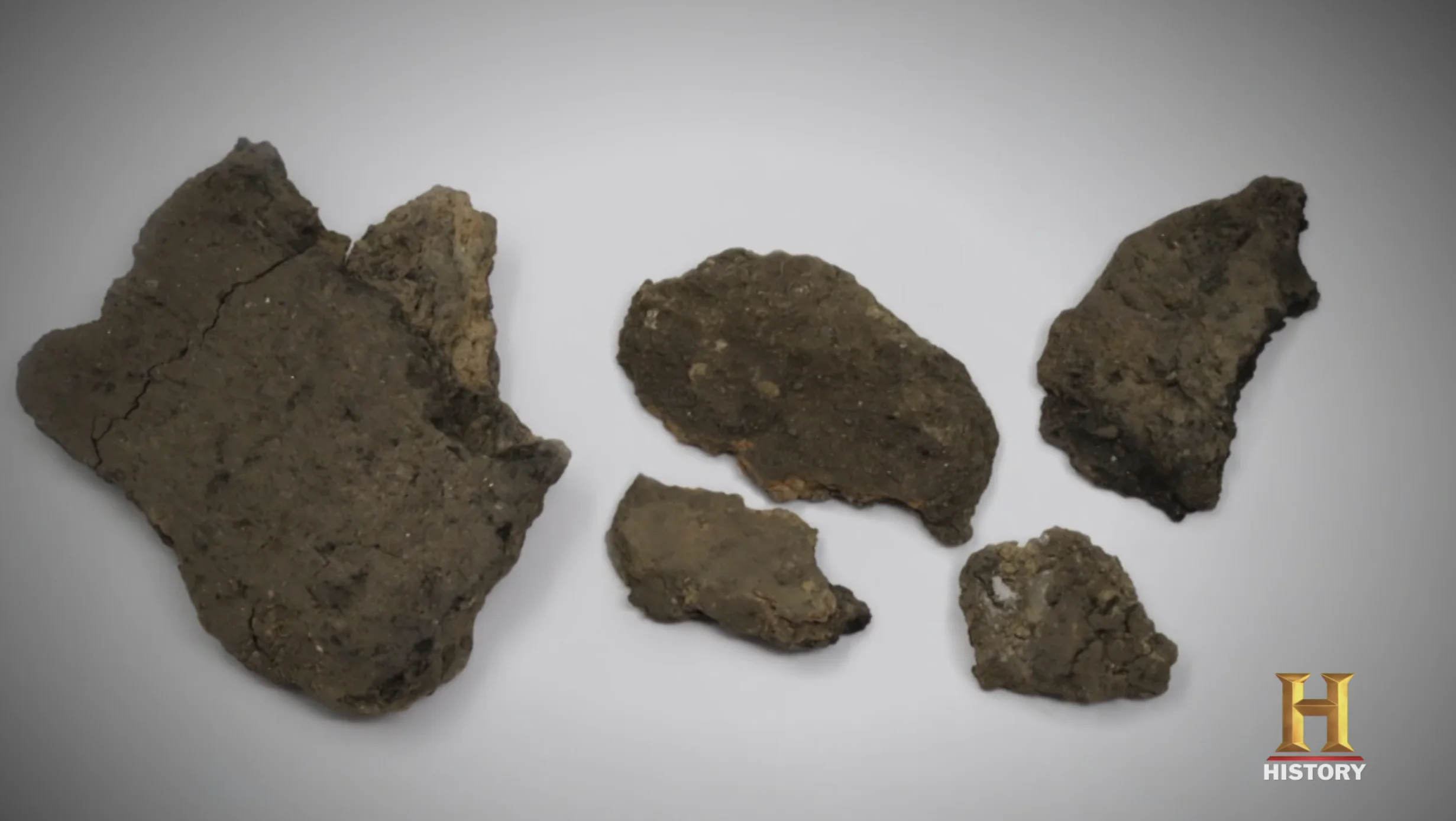 Mi'kmaq pottery→
The pottery find did not by itself prove that the Mi'kmaq had built or used any structure on Oak Island. The sherd was small. Laird Niven did not believe that the adjacent stone roadway found in the same area had been constructed by the Mi'kmaq. What the find established was the simpler and older fact: the Mi'kmaq had been on Oak Island, at this site, at some point in the last 2,500 years, and the island's archaeological history is not exclusively European. Whatever else may have happened on Oak Island, it happened in a place to which the Mi'kmaq had a prior and continuing relationship.
The Mi'kmaw oral tradition is vast and ancient, and much of it remains within the community rather than published in academic sources. Whether stories exist that relate specifically to Oak Island, to unusual activity in Mushamush, or to structures built by unknown visitors on the islands of the southern shore is a matter only the Mi'kmaq themselves can speak to.
Jimmy Kaizer
1 min
One Mi'kmaq name appears directly in the Oak Island story. Jimmy Kaizer, a local Mi'kmaq man, worked as a labourer for Robert Restall during his ill-fated treasure hunt in the early 1960s. When the Restall tragedy struck in August 1965, killing Robert Restall, his son Bobby, Cyril Hiltz, and Karl Graeser in a shaft filled with carbon monoxide or hydrogen sulphide gas, it was Jimmy Kaizer who retrieved the bodies. He subsequently worked as a night watchman for Robert Dunfield.
In late 1965, while sleeping in the Restalls' old cabin, Kaizer reported waking to the sound of the cabin shaking violently. He felt a heavy weight pressing on his chest and saw a pair of red eyes staring down at him. A voice told him to leave the island and never return. In the morning, he found himself covered in bruises, one pattern resembling the impression of a hand.
The story has typically been retold on the show as part of Oak Island's curse lore, a ghost story attached to a man who had just recovered four bodies from a hole in the ground. But it belongs within a Mi'kmaw spiritual tradition that does not draw the boundaries the modern Euro-Atlantic mind draws. In the six-worlds cosmology described by Anne-Christine Hornborg, the boundary between the physical world and the parallel worlds is not a line but a porous edge, and at places of power, that edge can be crossed. The petroglyphs at Kejimkujik were carved at such places. The figures recorded by Samuel Huyghue in his 1842 novel Argimou: A Legend of the Micmac, in particular Argimou the puoin who could disguise his body and pass through the form of a 103-year-old man, were Mi'kmaq operating within this same cosmology. Jimmy Kaizer's account, on a piece of ground where a recent and violent death had just occurred, fits more naturally within his own people's cosmology than within the European ghost-story genre into which it has been received.
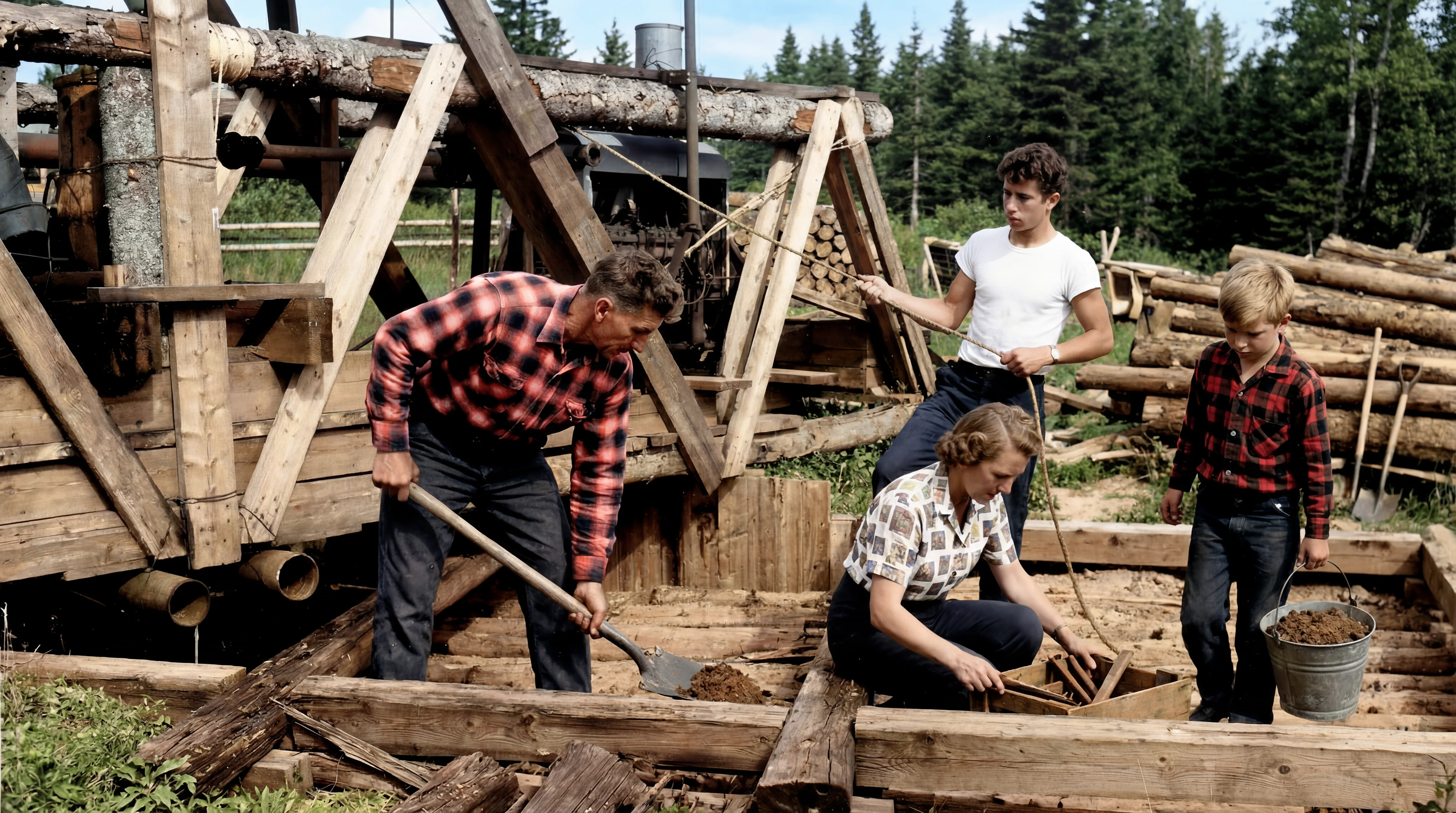 The Restall Tragedy→
The First Chapter
1 min
The Mi'kmaq did not need Oak Island to contain treasure for it to hold meaning. Their relationship with the land was not extractive but reciprocal, governed by customs refined over hundreds of generations. They buried their dead in round holes four or five feet deep, lined with fir and cedar, accompanied by bows, arrows, snowshoes, and beads, so that the spirits of these things might travel with the departed into the Land of Souls. They read the stars as stories: the four stars of the Big Dipper were Mooin the Bear, fleeing across the northern sky each summer, pursued by seven hunters, three of whom (Robin, Chickadee, and Moose Bird) always kept the trail while the other four dropped away as autumn arrived. When Robin caught the Bear, her blood stained his breast red, and the falling drops coloured the autumn leaves below.
For over two centuries, the story of Oak Island has been told as a European story: pirates, Templars, Freemasons, Bacon, the French Crown. The Mi'kmaq, when they have appeared at all, have been a footnote. But they were here first, and they were here for eleven thousand years before anyone dug a pit, built a flood tunnel, or carried a lead cross across the Atlantic. Whatever Oak Island's secret turns out to be, it exists within a country the Mi'kmaq shaped, named, governed, and held sacred long before the first European set foot on its shores. The Mi'kmaq story is not a footnote to the Oak Island story. It is the first chapter.
Sources
3 min
Archaeology and prehistory:
- George F. MacDonald, Debert: A Palaeo-Indian Site in Central Nova Scotia, Anthropology Papers, National Museums of Canada No. 16 (Ottawa: National Museum of Canada, 1968). The foundational study of the Debert site, dated to 11,026 ± 225 BP.
- Roger Lewis, "Pre-Contact Mi'kmaq Cultural Periods," in Kekina'muek: Learning About the Mi'kmaq of Nova Scotia (Truro: Confederacy of Mainland Mi'kmaq, 2006). The Mi'kmaq-led renaming of the precontact archaeological chronology: Saqiwe'k L'nuk, Mu Asami Saqiwe'k, Kejikawek L'nuk, Kiskukewe'k L'nuk.
- Donald Julien, Tim Bernard, Ruth Holmes Whitehead, and Roger Lewis, "Paleo Is Not Our Word: Protecting and Growing a Mi'kmaw Place," paper presented at the Council for Northeast Historical Archaeology, 2008.
- Christopher Ellis, "Understanding Clovis Fluted Point Variability in the Northeast: A Perspective from the Debert Site, Nova Scotia," Canadian Journal of Archaeology 28, no. 2 (2004): 205-253.
- Stephen A. Davis, The Micmac (Halifax: Nimbus Publishing, 1997).
Cosmology and oral tradition:
- Anne-Christine Hornborg, "Visiting the Six Worlds: Shamanistic Journeys in Canadian Mi'kmaq Cosmology," Journal of American Folklore 119, no. 473 (Summer 2006): 312-336. The Six Worlds framework, the buoin as the keeper of mystery, and the rejection of Eliade's trance-based shamanism model. Cosmological deixis and Amerindian perspectivism after Viveiros de Castro.
- Anne-Christine Hornborg, A Landscape of Left-Overs: Changing Conceptions of Place and Environment among Mi'kmaq Indians of Eastern Canada (Lund: Lund Studies in History of Religions, 2001).
- Stephen Augustine creation story, in Evelyn Pritchard, Stephen Augustine, and Sheila Ward, The Mi'kmaq: A Maritime Woodland Group (Halifax: Atlantic Canada Plus Association, 1991). The seven stages of creation: Kisulk, Niskam, Sitqamuk, Klu'skap, Nukumi, Netawansum, Nikanaptekewisqw.
- Marion Robertson, Red Earth: Tales of the Micmacs (Halifax: Nova Scotia Museum, 1969). The traced petroglyph illustrations and the Mooin the Bear constellation tradition.
- Silas T. Rand, Legends of the Micmacs (New York: Longmans, Green, 1894). The earliest substantial compilation of Mi'kmaq oral tradition.
- Michael B. Runningwolf and Patricia Clark Smith, On the Trail of Elder Brother: Glous'gap Stories of the Micmac Indians (New York: Persea Books, 2000).
- Samuel Douglass Smith Huyghue, writing as "Eugene," Argimou: A Legend of the Micmac (Halifax: Morning Courier Office, 1847; reprinted Wilfrid Laurier University Press, 2017, with afterword by Gwendolyn Davies). The 1842 novel by a sympathetic European observer documenting the Mi'kmaq culture during the 1755 Siege of Fort Beauseejour, including Argimou as puoin, warrior, and trickster figure of Maritime Mi'kmaw oral tradition.
Treaties and law:
- William C. Wicken, Mi'kmaq Treaties on Trial: History, Land, and Donald Marshall Junior (Toronto: University of Toronto Press, 2002). The mutual-recognition reading of the 1725-26, 1752, and 1760-61 Peace and Friendship Treaties.
- Andrew Nurse, "History, Law and the Mi'kmaq of Atlantic Canada," review essay, Acadiensis 33, no. 2 (Spring 2004): 126-133. Contextualises Wicken's argument against earlier interpretations by Patterson, Upton, and Dickason.
- R. v. Marshall, [1999] 3 S.C.R. 456. Supreme Court of Canada decision affirming continuing Mi'kmaq treaty rights to commercial fishing under the 1760-61 Peace and Friendship Treaties.
- Stephen E. Patterson, "1744-1763: Colonial Wars and Aboriginal Peoples," in Phillip A. Buckner and John G. Reid, eds., The Atlantic Region to Confederation: A History (Toronto and Fredericton: University of Toronto Press and Acadiensis Press, 1994), 125-155.
Modern Mi'kmaw nation:
- Simone Poliandri, First Nations, Identity, and Reserve Life: The Mi'kmaq of Nova Scotia (Lincoln: University of Nebraska Press, 2011). Ethnography of Indian Brook (Sipekne'katik First Nation) and Millbrook reserves, including the Shubenacadie Indian Residential School (1929-1967), the Glooscap Heritage Centre, and contemporary Mi'kmaw identity construction.
- Harald E. L. Prins, The Mi'kmaq: Resistance, Accommodation, and Cultural Survival (Fort Worth: Harcourt Brace, 1996).
- Mi'kmaq Rights Initiative, Confederacy of Mainland Mi'kmaq, Truro, Nova Scotia. The body coordinating archaeological consultation for Mi'kmaw rights on the Nova Scotia mainland.
- Nova Scotia Communities, Culture, Tourism and Heritage (CCH), under the Special Places Protection Act. The legislative framework governing archaeological discoveries on heritage sites in the province.
Mi'kmaw placenames:
- Charles Bruce Fergusson, Place-Names and Places of Nova Scotia, Public Archives of Nova Scotia (Halifax, 1967).
- Mahone Bay Museum, "Our Town's History," with section on the Mi'kmaq presence at Mushamush. https://mahonebaymuseum.com/research/townhistory/
- Mi'kmaw Place Names Project, Cape Breton University Mi'kmaq Resource Centre. https://libguides.cbu.ca
Petroglyphs and writing:
- Parks Canada, Kejimkujik National Park and National Historic Site. Documentation of Mi'kmaw petroglyphs at Kejimkujik Lake and George Lake.
- George Creed petroglyph tracings, 1887-1888, reproduced in Robertson, Red Earth. The earliest documentation of Mi'kmaw rock art in Nova Scotia.
- Chrestien Le Clercq, Nouvelle Relation de la Gaspesie (Paris, 1691); English translation by William F. Ganong as New Relation of Gaspesia, Champlain Society (Toronto, 1910). Source for the Mi'kmaq hieroglyphic writing system as observed by the Recollet missionary in the late seventeenth century.
- Abbe Pierre Maillard. Eighteenth-century expansion of the Mi'kmaq hieroglyphic system, particularly for Catholic liturgical use.