In 1981, Fred Nolan found five large cone-shaped boulders on his property on Oak Island. They were scattered across Lots 5 and 21, some of them partially buried, none of them obviously connected. But when Nolan plotted their positions on a survey map, the pattern was unmistakable. The five stones formed a formation spanning 867 feet, with a vertical axis running roughly north to south and a shorter horizontal axis crossing it near the top. Nolan called it a cross, and that name stuck. For decades, most people assumed the formation was either a coincidence of glacial deposit or an old property boundary. Nolan insisted otherwise. He believed the stones had been placed deliberately by someone who understood geometry on a scale that could only be appreciated from above. He spent the rest of his life trying to prove it.
It took forty years for the science to catch up. Between 2019 and 2024, five independent researchers, using entirely different methods and starting from different assumptions, would all arrive at the same conclusion: the structures on Oak Island were built to align with the stars. The question is no longer whether the builders used astronomy. The question is who, in the medieval period, possessed both the celestial knowledge and the engineering skill to lay it out.
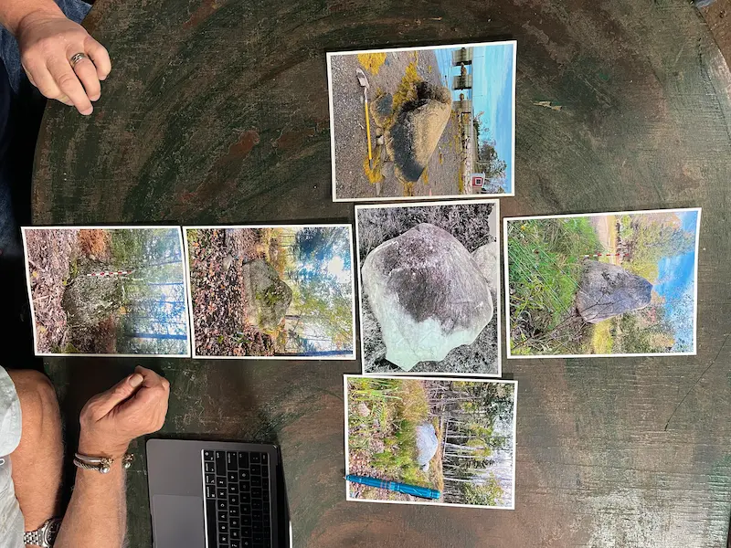 Nolan's Cross (5 boulders)→
As Above, So Below
The first scientist to overlay a star map onto Oak Island was Dr. Travis Taylor, an astrophysicist and aerospace engineer whom Marty Lagina invited to the War Room during Season 6, Episode 7 ("Rock Solid") in January 2019. Taylor approached the island the way a data scientist would approach a battlefield: he compiled every known data point, including survey results, artefact locations, and geological features, and fused them into a single integrated map. He then layered radon prospecting data over the top, revealing zones of concentrated underground activity that corresponded to known areas of interest. It was one of the most scientifically rigorous analyses ever applied to the Oak Island mystery, and it led Taylor to a striking conclusion.
When he overlaid the constellation Taurus on the island, key features aligned with specific star positions. Nolan's Cross, the swamp, and other landmarks fell into correspondence with the celestial pattern. Taylor's principle was "As Above, So Below," the ancient concept of mirroring heaven on earth, a practice documented among the Templars, who built their fortresses in alignment with sacred geometry across the landscapes of France. His Freemasonic theory extended this further, connecting the island's geometry to Masonic symbolism and rituals, a thread that would be picked up by other researchers in later seasons.
Two episodes later, in Season 6, Episode 9 ("As Above, So Below"), Taylor's star map was put to a field test. Jack Begley, Gary Drayton, and diver Tony Sampson traveled by boat to nearby Apple Island, an area of interest identified on Taylor's celestial overlay. At the coordinates indicated by his Taurus map, they discovered three large boulders arranged in what appeared to be a deliberate formation. The boulders had not been previously documented. Taylor's map, derived from star positions, had pointed to a real physical feature on an island no one had thought to search. It was the first time a celestial theory about Oak Island had produced a tangible, verifiable result on the ground.
The Swamp and the Virgin
A year after Taylor's presentation, researcher Chris Donah brought a different constellation to the War Room during Season 7, Episode 14 ("Burnt Offering") in February 2020. Where Taylor had looked at the island's features broadly, Donah focused on a single element: the swamp. He had studied its outline and concluded that its shape corresponded to the constellation Virgo. The swamp was not, in his reading, a natural feature that happened to collect water in a convenient depression. It was a shaped landscape, deliberately configured to reflect a pattern in the heavens.
The idea landed in a season already rich with swamp revelations. Dr. Ian Spooner had determined that the swamp was created approximately 1220 AD, that it had once been open ocean, and that the "eye" of the swamp had been manipulated by humans in the seventeenth century. A stick wedged between the paved stones at its base had been carbon dated to the 1200s. If the swamp was artificial, as the evidence increasingly suggested, then the question of why it was shaped the way it was became legitimate. Donah's Virgo theory was the first attempt to answer it by looking up.
The Swan
Norwegian researcher Petter Amundsen had been working on a different celestial connection. Amundsen, known primarily for his work decoding what he believed were Baconian ciphers hidden in the works of Shakespeare, had identified a correspondence between the constellation Cygnus, the Swan, and the layout of Nolan's Cross. When the star pattern of Cygnus was overlaid on the five cone stones, the fit was close enough to suggest intentional design rather than coincidence.
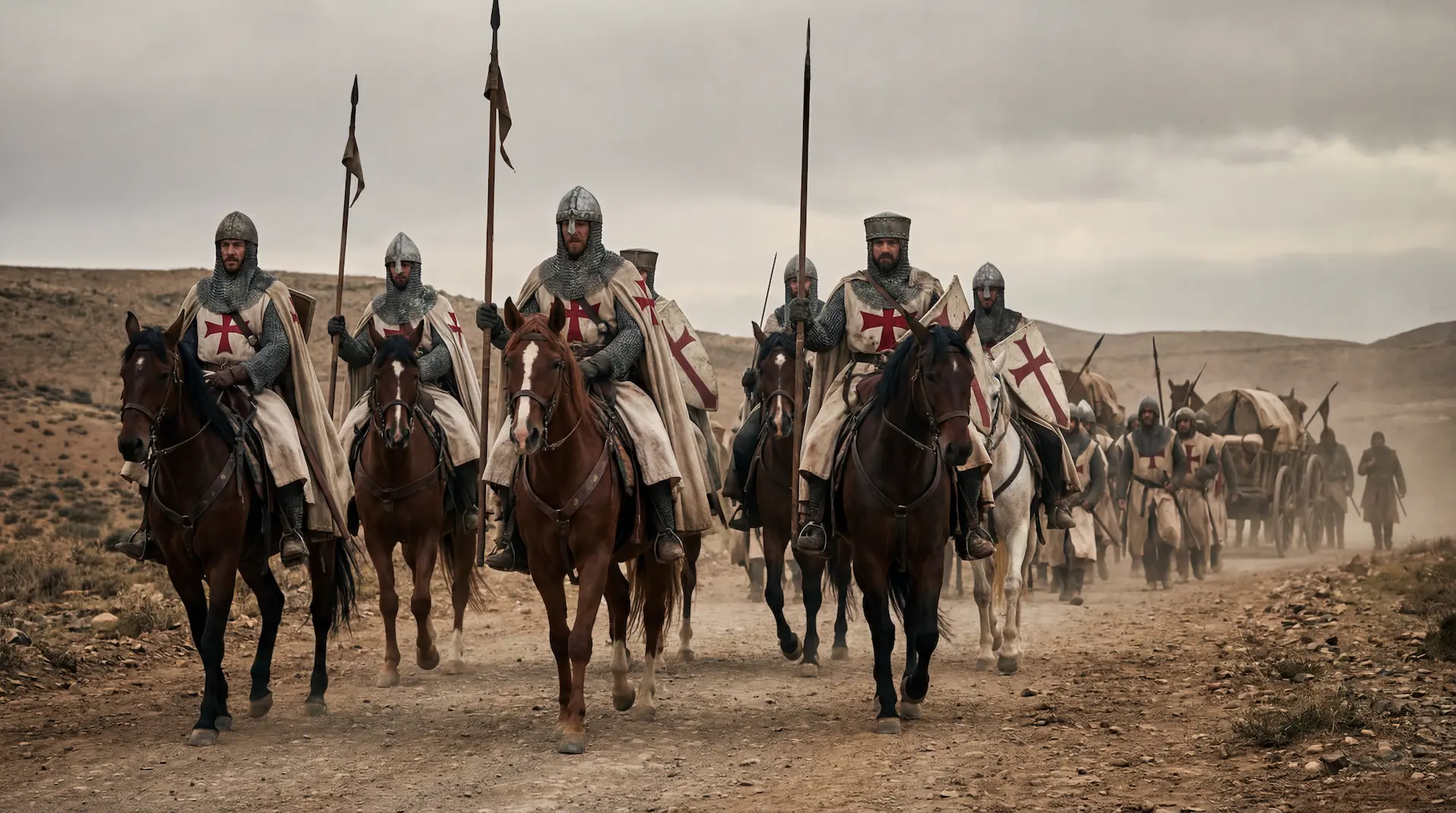
The Cygnus connection gained significant weight in Season 11, Episode 22, when the team traveled to Bianzano Castle in the Cavallina Valley of northern Italy. The castle, identified as a Templar protection site, was where they met Professor Adriano Gaspani, an archaeoastronomer and astrophysicist based near Milan. Gaspani explained that Bianzano Castle was oriented to the cardinal points, with its corners aligned to solstice sunsets and equinoxes. He then confirmed, for the first time on television, that the castle's alignment matched the Cygnus constellation in exactly the same way that Amundsen had proposed for Nolan's Cross. The same constellation, the same geometry, in a confirmed Templar structure four thousand miles from Oak Island.
The Archaeoastronomer
Gaspani's contribution went far beyond confirming someone else's theory. He brought a methodology that no previous Oak Island researcher had applied: dating stone structures by calculating which stellar positions their alignments would have matched at the time of construction. Stars move. Their positions in the sky shift measurably over centuries due to precession and proper motion. A structure built to align with a specific star in 1200 AD would not align with the same star today. By working backward from the current positions of the stones and calculating when specific bright stars would have occupied the correct positions relative to the formation, Gaspani could determine when the structures were built.
He presented his initial findings in Season 10, Episode 22 ("Starry Knights"). Gaspani had identified six bright stars that aligned with the boulders of Nolan's Cross: Capella, Arcturus, Antares, Bellatrix, Alphard, and Fomalhaut. When he calculated the epoch at which these alignments would have held true, the answer was approximately 1200 AD. Doug Crowell, the team's historian, immediately noted that this date matched the independent carbon dating of the swamp stone platform. Two completely different methods, applied to two different features on the island, had converged on the same century.
Gaspani then turned his attention to the stone cairns on Lot 15, a separate set of structures on the opposite side of the island from Nolan's Cross. Using the same archaeoastronomical methodology, he dated the cairns to approximately 1250 AD. The Lot 15 cairns were aligned with a different set of stellar positions, confirming that whoever built them had the same astronomical knowledge as the builders of Nolan's Cross but had constructed the cairns roughly fifty years later. The implication was that the island had been used over an extended period by people who understood celestial navigation and incorporated it into their construction practices as a matter of course.
Today, it has become much easier to create or measure aligments thanks to smartphone tools such as My Solar Compass and My Cosmic Compass that use the formulas used in professional research to calculate sunrise, sunset, and star-rise positions for any date from 3000 BC to the present. A visitor to Oak Island, or to any of the European sites connected to the investigation, can now point a phone along a structure, capture the bearing, and see which celestial events align with it across centuries of history. My Solar Compass handles sun positions and feast day matching; My Cosmic Compass extends the analysis to stars, planets, and the 18.6-year lunar standstill cycle. Both tools were developed with fieldwork at historical and archaeological sites in mind.
 Archaeoastronomy on Oak Island→
The Drilled Stones
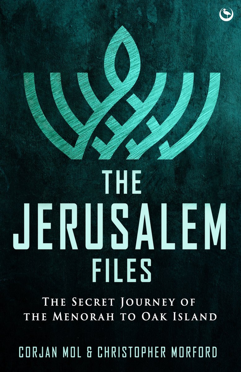
If Gaspani's work answered the question of when, researcher Christopher Morford's War Room presentation addressed the question of what the formation was pointing at. Morford, a Freemason and co-author of The Jerusalem Files, had been studying the relationship between the cone boulders and a set of drilled stones found on the island. His theory, presented during Season 11, was that the builders of Nolan's Cross had not merely created a monument. They had created a targeting system.
Morford demonstrated that two of the cone-shaped boulders from Nolan's Cross aligned precisely with two drilled stones, and that the resulting sightline pointed directly at the Money Pit area. The first boulder in the sequence, Cone C, sits on the beach where it would have been visible to an incoming ship. A rock with a strangely drilled hole lies between Cone C and Cone A at the top of the formation. A second drilled rock lies in a direct line beyond Cone A. Rick Lagina reminded the group that a third drilled stone had been found in the Money Pit area in 1895 but was subsequently moved from its original position.
Surveyor Steve Guptill immediately walked the line and measured the distances. He discovered that the second drilled stone sat exactly halfway between Cone C on the beach and the Garden Shaft. It was slightly off-centre of the shaft itself, but it landed directly above the tunnel that runs to the Baby Blob, the underground zone where high trace evidence of gold and silver had been detected between 80 and 120 feet below ground. Four lines measured from Nolan's Cross, Morford argued, perfectly intersected at the Garden Shaft.
The implications were significant. Gaspani had demonstrated that the stones were placed according to stellar alignments datable to 1200 AD. Morford had demonstrated that the same stones also functioned as a ground-level survey system directing searchers to a precise underground location. The formation was not one thing or the other. It was both: a structure that used the stars to establish its geometry and then used that geometry to mark a target on the ground.
The Viking Stars
In Season 11, Episodes 23 and 24, the team traveled to Denmark and Iceland to investigate a different but potentially connected tradition of celestial navigation. On the island of Bornholm in Denmark, historian Jeanne Cordua showed the team the Madsebakke rock carvings, a complex of three-thousand-year-old Bronze Age petroglyphs that align with the stars. She described a Bronze Age compass that pointed to the winter solstice sunrise and sunset, and she explained how Norse navigators used translucent sunstones to determine the position of the sun even on overcast days. Doug Crowell noted that certain carvings at Madsebakke representing the Hyades constellation matched the configuration of the stone piles on Lot 15, the same structures that Gaspani had independently connected to the Hyades using his archaeoastronomical methods.
 Madsebakke Rock Carvings→
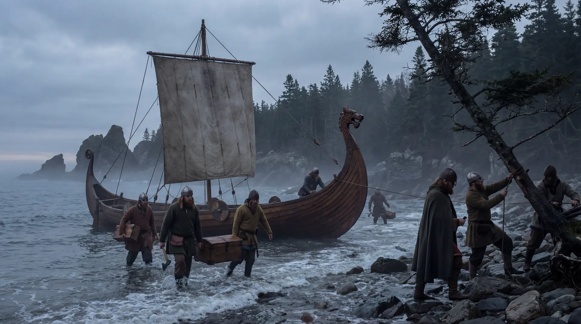
At the Ladby Viking Museum in Denmark, curator Ane Jepsen Nyborg examined a photograph of the crossbow bolt found on Oak Island in the 1960s and confirmed that it matched artefacts from local archaeological digs dating to the early medieval period through the Viking age, placing it before the 1300s. The crossbow bolt was physical evidence of a medieval European presence on Oak Island, and it came from a culture that navigated by the stars as a matter of survival.
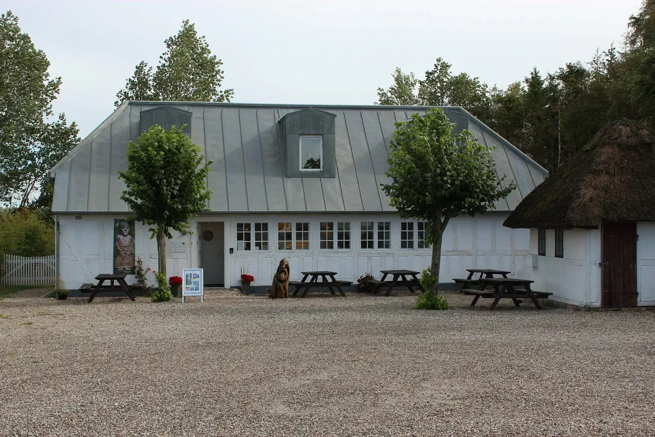 Ladby Viking Museum→
In Reykjavik, Iceland, the team visited the Arni Magnusson Institute, where Professor Gunnlaugsson showed them a manuscript written in Latin and Norse that named four specific stars. One of them was Arcturus, the same star that Gaspani had identified as one of the six reference points for the Nolan's Cross alignment. Doug Crowell then noticed something else: the ribbon symbol from the Lot 8 copper piece, an artefact found on Oak Island, appeared multiple times in the same Icelandic manuscript. A symbol from the island and a star from the sky, both present in the same medieval document.
 Arni Magnusson Institute for Icelandic Studies→
At the National Museum of Iceland, curator Armann Gudmundsson presented Roman coins unearthed in southern Iceland, minted in the fourth century but brought to Iceland by Norse settlers in the ninth or tenth century. The coins demonstrated that objects moved across vast distances in the medieval world, carried by people who navigated the open Atlantic using the stars. At a Viking ship museum, the team was shown a reconstructed cargo vessel built around 1060, capable of carrying twenty tons and making the crossing to North America. The technology existed. The navigation knowledge existed. The question was whether the people who possessed both had any reason to sail to Nova Scotia and build stone structures aligned with the constellations they used to find their way.
Convergence
What makes the celestial evidence on Oak Island difficult to dismiss is not any single finding but the fact that the findings arrived independently and confirm each other. Travis Taylor overlaid Taurus on the island and found three undocumented boulders at the coordinates his star map predicted. Chris Donah looked at the swamp and saw Virgo. Petter Amundsen looked at Nolan's Cross and saw Cygnus. Adriano Gaspani looked at the same formation with the tools of astrophysics and dated it to 1200 AD, a date that matched the carbon dating of the swamp's stone platform. Christopher Morford looked at the cone boulders and the drilled stones and found sightlines converging on the Garden Shaft. In Scandinavia, the team discovered that one of Gaspani's reference stars appeared in an Icelandic manuscript alongside a symbol found on the island itself, and that the Hyades constellation matched the Lot 15 stone piles through two entirely separate analyses.
None of these researchers were working together. None of them started from the same hypothesis. Yet all of them arrived at the same conclusion: the layout of Oak Island was designed with reference to the sky. The stones are not random. The swamp is not accidental. The alignments are not coincidental. Someone stood on this island eight hundred years ago, looked up at the stars, and built accordingly.
In the medieval world, two groups possessed both the astronomical knowledge and the engineering capability to execute construction on this scale at this level of precision. The first were the Norse, whose celestial navigation enabled them to cross the open Atlantic centuries before Columbus. The second were the military orders of the Crusades, the Templars and their associated Cistercian monks, who studied architecture, engineering, and celestial navigation in abbeys across Europe and built their fortresses in alignment with stars and sacred geometry from France to the Holy Land. The crossbow bolt dates to their era. Gaspani's stellar dating places Nolan's Cross in their century. Bianzano Castle carries their name and the same Cygnus alignment. The stars above Oak Island may yet tell us who stood beneath them.