When Rick and Marty Lagina announced in January 2023 that they had purchased Lot 5 of Oak Island, the piece of land carried no known history of settlement. The previous owner, the late Robert Young, had guarded it for decades and shown very few people what it held. Three seasons of excavation later, the lot with has produced six Roman-era coins, six Venetian trade beads, a 14th-century lead barter token matched by isotope analysis to the Smith's Cove lead cross, and a complex of what looks like deliberately buried stone structures that archaeologists now read as two separate occupations. What began as a circle of stones thirteen feet across has become one of the most closely studied archaeological sites on Oak Island.
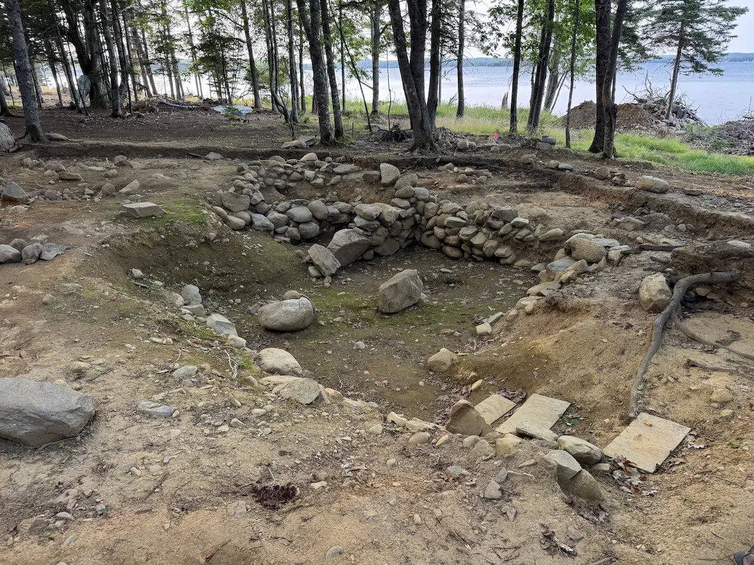 Lot 5 Stone Feature→
Robert Young's Secret
1 min
Robert Young purchased the lot from Fred Nolan in 1996 and held it until his death in 2020. He found a coin there in 1996 that he believed was Norse, recovered 67 artifacts by hand under provincial licence, and kept the lot unploughed, uncleared, and unexcavated for twenty-four years. Around the turn of the millennium he showed archaeologist Laird Niven a stone structure on the property, a visit Niven would recall on camera in April 2023 when he asked the team to examine it. Historical photographs of the circular feature, provided to the team by Danny Hennigar from the Young family, confirm the structure was visible on the surface long before the television excavation began.
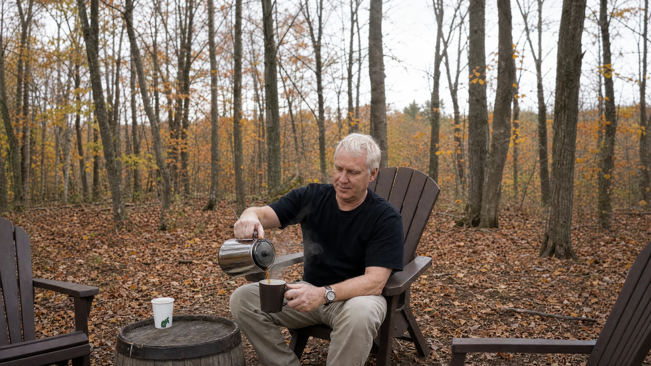 Robert Young: The Man Who Kept Oak Island's Lot 5→
The purchase by the Laginas was announced in Season 10 of The Curse of Oak Island and within weeks, Rick Lagina and Gary Drayton were working through dozens of flagged metal-detecting targets. The finds began arriving immediately: a half coin that numismatist Sandy Campbell suggested could be Roman, struck as early as 300 BC, and a lead token recovered nearby. Italian numismatist Roberto Moruzzi later confirmed the half coin as Roman, from the 4th century AD. The coin and the token would prove to be the first entries in the densest artifact record of any single lot on the island.
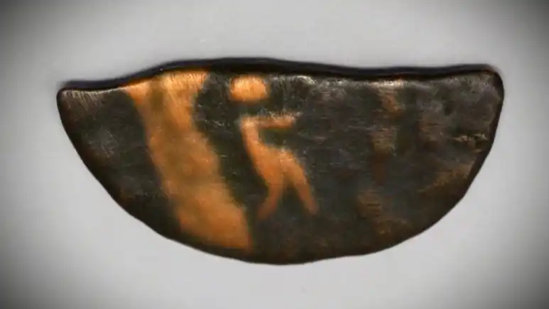 Half Roman coin, c. 300 BC-600 AD (Lot 5)→
A Circle Thirteen Feet Across
1 min
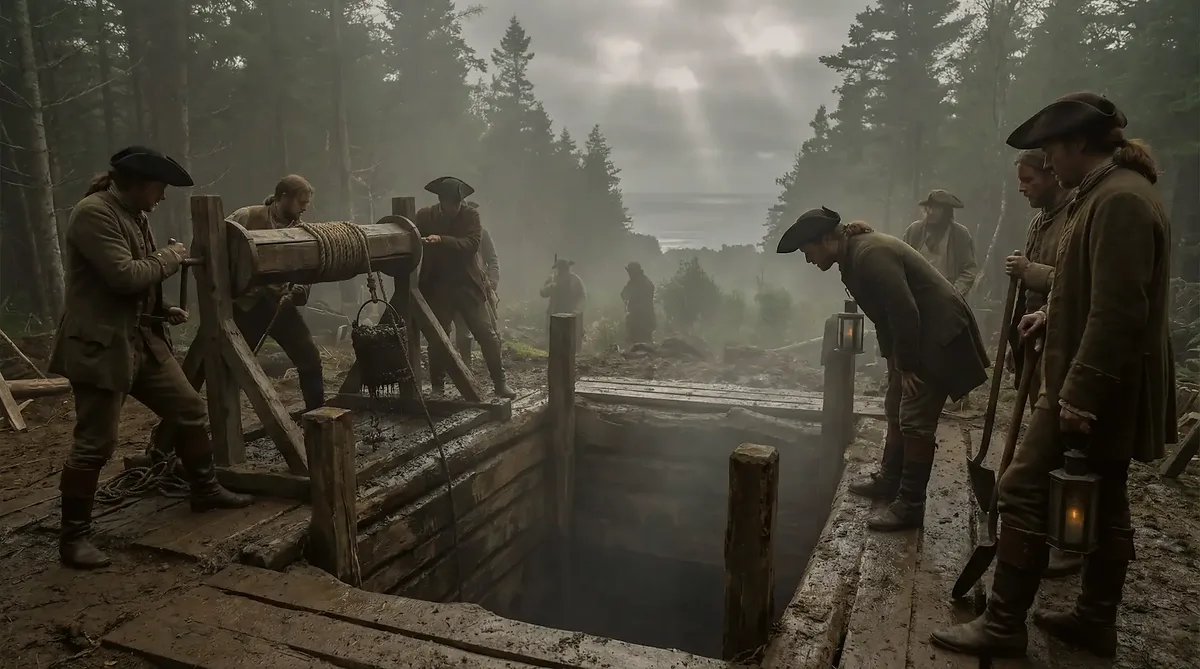
In April 2023, at Niven's direction, the team turned to the structure Young had shown him: a circular stone pit near the shoreline. Alex Lagina and Niven began the investigation, and the dimensions emerged quickly. The feature measured thirteen feet in diameter, with notches in the stonework at roughly four-foot intervals. Thirteen feet is the same diameter the historical record gives the original Money Pit shaft, a correspondence the team noted from the first measurements. Niven, who had initially read the structure as an old root cellar, found reasons to look again: what the team first took for the exterior of the feature turned out to be encircled by an additional ring of stones.
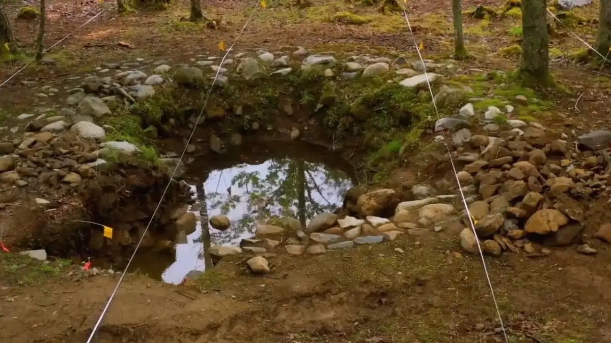 Round stone feature (Lot 5)→
The early artifact returns from the circle set the tone for everything that followed. Pottery from the 18th century came out of the fill. So did a possible barter token, recovered close enough to the structure that the team discussed whether it had once been inside it. An iron latch from the feature was compared by materials scientist Emma Culligan to artifacts from the William Phips birthplace in Maine, supplied by researcher Frank White, and found to be a complete compositional match. Blacksmithing expert Carmen Legge examined the latch and observed wear at the bottom but no mushrooming at the top: a latch inserted once and left permanently in place, not one opened and closed through years of domestic use. Whatever the circle was, it had not behaved like a cellar.
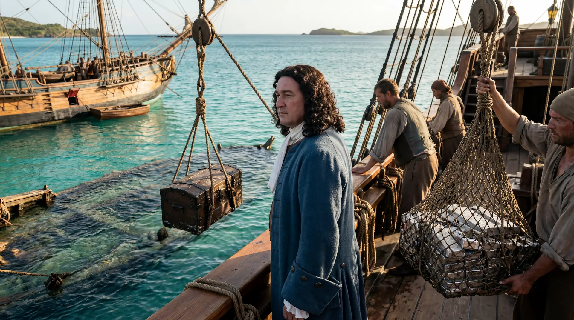 William Phips, the Treasure of the Concepción→
The Foundation Beneath the Circle
1 min
The discovery that changed the site's status came from geophysics. In Season 11, a magnetometer scan of the circular feature, processed by Saint Mary's University, revealed what appeared to be a much larger rectangular stone foundation beneath it, possibly from a different time period. Continued excavation and survey outlined the buried foundation at 30 by 45 feet, the largest foundation found anywhere on the island. Archaeologist Jamie Kouba, tracing what she had first taken for a wall, reported that the rocks extended well past it, indicating a structure too large for a single family to have built.
The team's language shifted with the evidence. By Season 11 the site was being described on camera as a deliberately buried stone foundation, and by the opening of Season 13 Niven was summarising Lot 5 as two deliberately buried stone foundations that had produced artifacts spanning the 14th through 18th centuries. The burial itself is part of the argument: structures do not cover themselves with packed soil and stone.
Soil That Matches the Money Pit
1 min
The laboratory work tied the buried structures to the island's central mystery. Emma Culligan's X-ray diffraction analysis compared clay samples from the Money Pit, the round feature, and the rectangular feature. The rectangular feature proved a close match to a shallow Money Pit sample. The round feature corresponded to maroon till from 118 feet deep, a soil type that has no business at the surface of a shoreline lot unless someone carried it there. In Season 11 the team also documented dirt packed from the Money Pit into the wall of the foundation beneath the circular stone feature, and by the end of that season the site was being described as a place where artificially manipulated soils had been scientifically matched to samples from the Money Pit area.
A mortar-like substance from the feature ran through the same laboratory. Culligan's XRD comparison found it matched no mortar sample in her database, and Niven confirmed it was not naturally occurring. The soil evidence supports the interpretation the team voiced as early as Season 11: that Lot 5 may have served as a staging area for whatever was deposited in the Money Pit. Later seasons added a physical route to that argument. Survey work on the island's old roads concluded that Center Road predates the 1762 land survey and once connected Lot 5 to the Money Pit through the sand road, with Dr. Ian Spooner suggesting the pathway served some organised activity between the two sites.
The Artifact Record
2 min
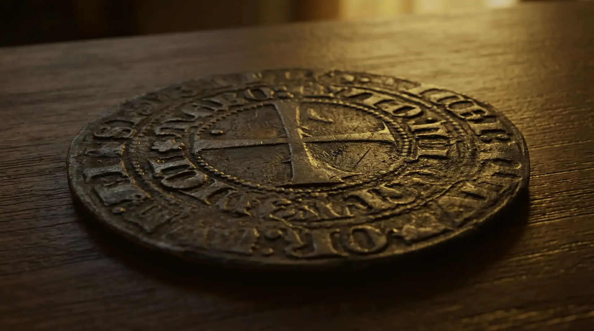
By the end of Season 13, the round feature alone had produced six Venetian trade beads, six Roman-era coins, two simulated French gemstones, ornate buttons, the now confirmed 14th-century lead barter token, and a folded talisman coin. The wider lot added a Tudor portcullis coin from the 1500s, a George III halfpenny from the rectangular feature, musket parts, creamware, pearlware, salt-glazed stoneware, and hand-wrought ironwork. Niven's Season 12 season-end summary counted eight pre-1760 items recovered that year alongside artifacts dating from 1760 to 1820, confirming activity on the site earlier than previously documented.
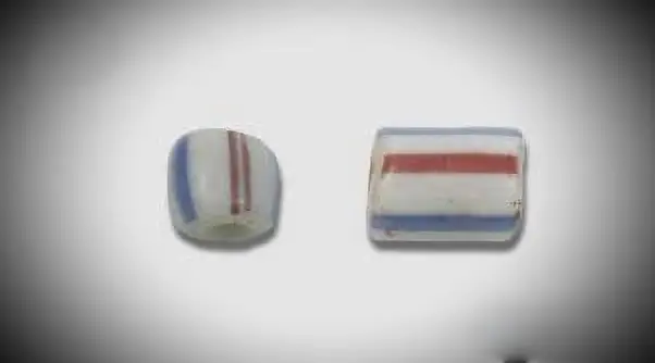 Venetian glass beads (multiple)→
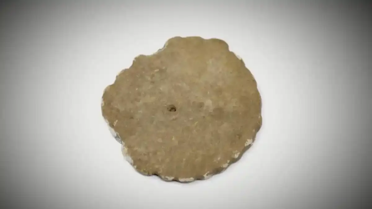 14th-century barter token→
 Folded copper coin, post-medieval (Lot 5 round feature)→
The barter token carries the heaviest evidential weight. Laser ablation testing at the University of New Brunswick matched its lead isotopes to the 14th-century lead cross found at Smith's Cove in 2017, which Dr. Chris McFarlane traced to a Southern French mine that ceased production around 1300. In Season 13, McFarlane reported that a decorative lead piece from the round feature's spoils was isotopically similar to the scalloped lead artifact recovered from Lot 5 in 2022, extending the cluster of lead finds that share an apparent ore source.
 British Tudor portcullis coin, 1500s (Lot 5)→
 George III penny or halfpenny, 1760-1820 (Lot 5)→
The beads and buttons opened a second line of interpretation. Researcher Judi Rudebusch pointed out similarities between the starburst button found at the foundation and buttons from Knights of Malta uniforms, and noted that the Venetian beads originated near where the Knights were based. Local historian Joan Dawson confirmed the beads are the same type Isaac de Razilly would have used for fur trading with the Mi'kmaq after establishing LaHave, fifteen miles south, in 1632. The Roman coins drew a more cautious reading from the team's own experts: Roman coinage was actively traded as currency across Europe into the 1500s, so the coins may record medieval or early modern visitors carrying old money rather than Romans.
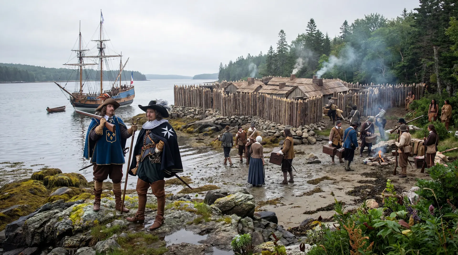 The Knights of Malta→
The iron spike Jack Begley recovered from the round foundation in 2023 travelled furthest for its assessment. Archaeologist Tiago Rodrigues, examining it at the Angra do Heroísmo Museum in the Azores, identified it as unmistakably Portuguese and possibly 14th-century.
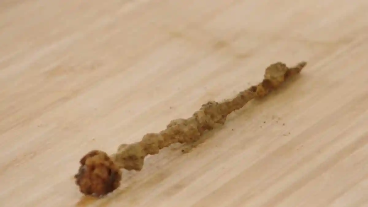 Hand-wrought iron spike (12th-13th century)→
Two Occupations
2 min
Season 13 widened the site from a structure to a complex. A second circular stone formation, six feet in diameter, emerged near where the Roman coins were found; Niven determined it sits on an east-west axis matching the orientation of the round foundation. A standing stone, confirmed by drone modelling to have been deliberately placed in a dug hole and propped with surrounding rocks, anchored a surveyed line that Steve Guptill projected through the drilled stone on Lot 27 to the Kingdom Stone at the base of Nolan's Cross. And the stone well that Robert Young had classified as 20th-century was reopened. Excavation showed it opening into something larger, possibly linked to the round foundation, and Fiona Steele and Niven walked Marty Lagina through a revised reading of the whole area: two probable occupations, with the well complex belonging to the earlier phase.
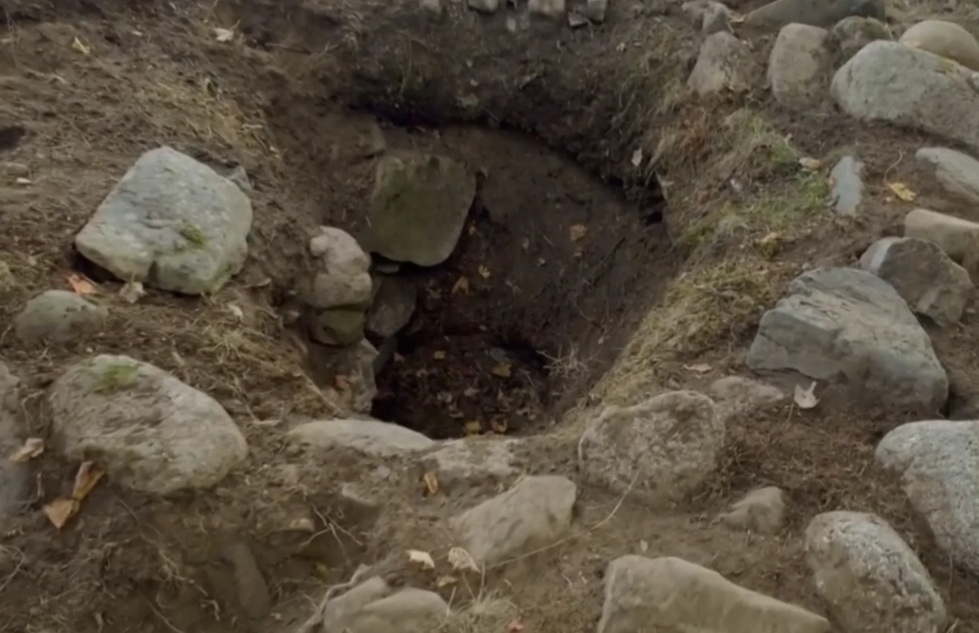 Stone Well (Lot 5)→
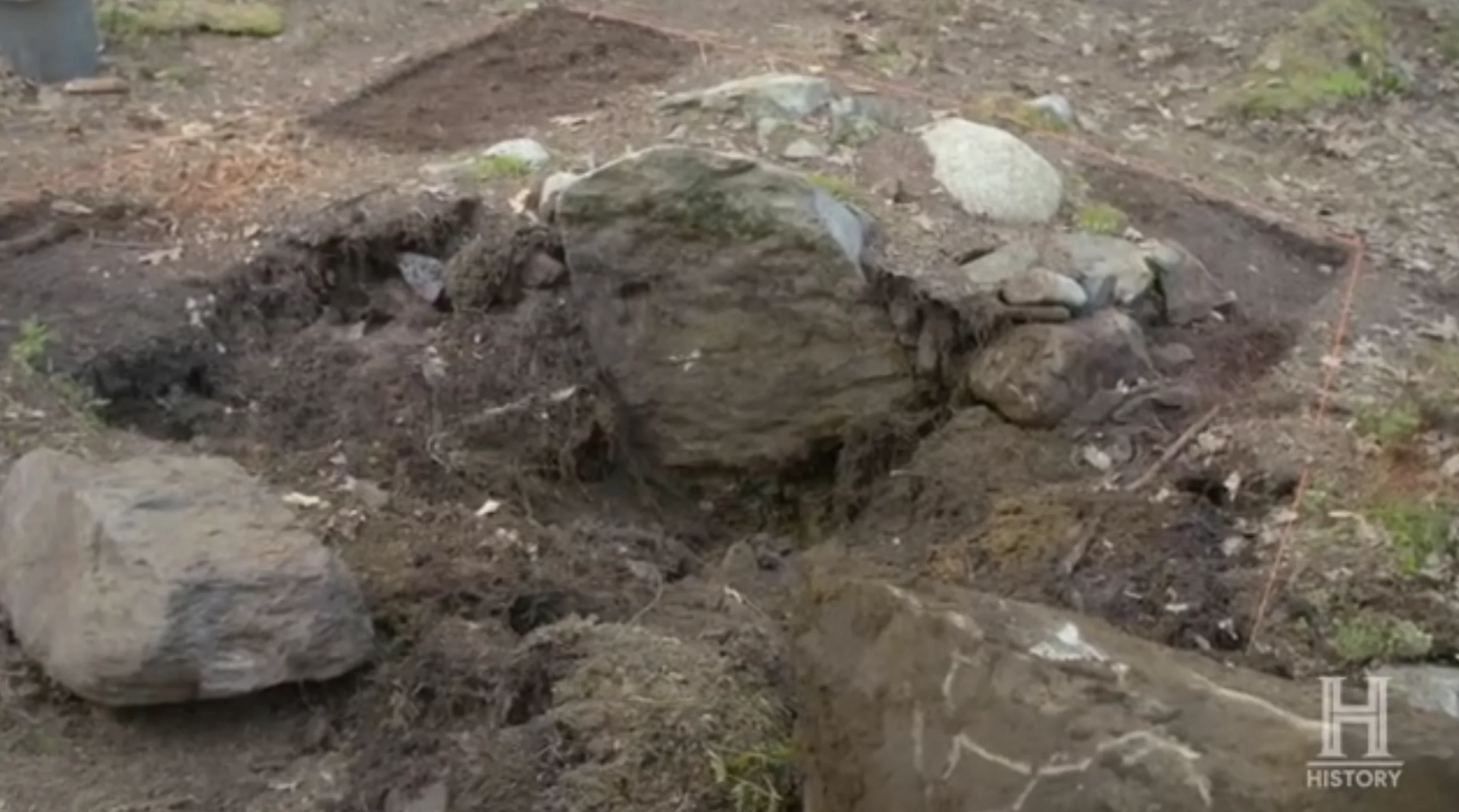 Lot 5 Standing Stone→Drilled Stone (Lot 27)→
That two-phase reading matches an observation Niven had made a season earlier, when a bead find reinforced his belief that Lot 5 held an earlier structure that was repurposed at a later date. The site, in the archaeologists' current description, is not one building but a sequence: an earlier construction, a later reuse, and a deliberate burial of the whole.
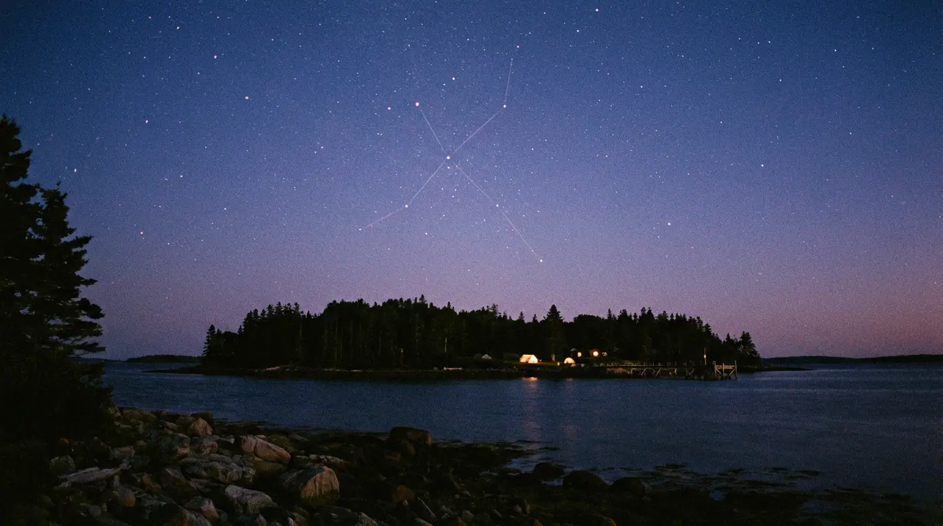
Professor Adriano Gaspani of the Brera Astronomical Observatory in Milan applied to the round foundation the archaeoastronomical method he had earlier used on Nolan's Cross. His stellar alignment analysis returned a construction date of approximately 1236 AD, with the feature sharing alignments with the rising of Sirius, the Pleiades, and Hamal. Archaeoastronomical dating is indirect: it calculates when a structure's alignments would have matched the night sky, and it depends on the alignments being intentional. Taken on its own terms, it places the earliest phase of Lot 5 in the same 13th-century window as the carbon-dated leather from the swamp pathway and Gaspani's dating of Nolan's Cross.

The Camp Question
1 min
At the close of Season 13, Marty Lagina drew the threads together on camera: the folded coin, the decorative lead artifact, and a well that had opened into something larger led him to suggest the team may finally be looking at the long-sought camp, the place where whoever worked on the Money Pit lived, stored, and staged. Steele and Niven added the practical observation that Lot 5's hidden setting, close to the shore and to the Money Pit, would have suited anyone arriving by ship.
What the record establishes so far is physical: two deliberately buried stone foundations, one 30 by 45 feet; a second small circle and a placed standing stone; a well complex assigned to an earlier phase; soils from the structures scientifically matched to Money Pit samples, including till from 118 feet deep; and an artifact spread running from Roman coinage through 14th-century lead to Georgian tableware. What remains open is everything the artifacts cannot yet say on their own: who built the earlier phase, who reused and buried it, and whether the connection to the Money Pit was construction, concealment, or coincidence of ground. Marty Lagina's own standard from Season 13 applies to the lot as a whole: the feature cannot be considered finished until the team understands what lies beneath it.
 The Money Pit→
Sources
1 min
Broadcast record
- The Curse of Oak Island, Seasons 10 through 13 (History Channel, 2023 to 2026), in particular the Lot 5 purchase and first coins (Season 10), the magnetometer survey and rectangular foundation (Season 11), the annex and spoils programme (Season 12), and the two-occupation reading, well excavation, and archaeoastronomical dating (Season 13).
Scientific analyses
- Magnetometer survey of the circular feature, processed by Saint Mary's University, Halifax.
- X-ray diffraction and CT analyses of soils, mortar, and metal finds by materials scientist Emma Culligan, Oak Island laboratory.
- Laser ablation and lead isotope analyses by Dr. Chris McFarlane, University of New Brunswick.
- Archaeoastronomical dating of the round foundation by Professor Adriano Gaspani, Brera Astronomical Observatory, Milan.
Specialist assessments
- Numismatic identifications by Sandy Campbell and Roberto Moruzzi.
- Ironwork assessments by blacksmithing expert Carmen Legge.
- Portuguese identification of the iron deck spike by archaeologist Tiago Rodrigues, Angra do Heroísmo Museum, Azores.
- Bead and button research by Judi Rudebusch; regional trade context by historian Joan Dawson.
Site archaeology
- Excavation direction and interpretation by Laird Niven, with archaeologists Fiona Steele, Jamie Kouba, Moya MacDonald, and Helen Sheldon.