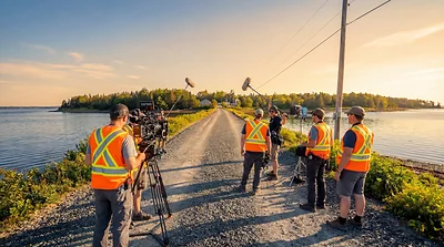
The Modern Quest
Two brothers from Michigan who dreamed of solving the Oak Island mystery as children have led the...

The island, the ground beneath it, who owned it, how it looked from the air, and where the search went beyond its shores. 5 maps, every one built from the record.

Beneath the ground
Every recorded shaft, borehole and tunnel since 1795 on a satellite map, with what the drill hit at each depth and the artifacts traced to each hole.

The island
The named places of Oak Island on satellite imagery: the Money Pit, Smith's Cove, the swamp, Nolan's Cross and the lot boundaries.

Who owned what
The 32 lots and their owners from the first grants of 1751 to the present day, year by year.

From the air
Aerial photographs of the island across the decades, aligned so the same spot can be compared from one year to the next.

Beyond the island
Every place the team has investigated away from Oak Island: museums, archives, churches, caves and commanderies, on a world map.
Looking for one place or one hole by name? Try the site search. For the digs in date order, see the timeline.



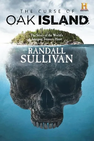
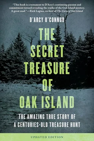
As an Amazon Associate I earn from qualifying purchases.
Two brothers from Michigan who dreamed of solving the Oak Island mystery as children have led the...

Irish monks of the papar tradition crossed the North Atlantic by the eighth century. Their cave c...

The Mi'kmaq have lived in Mi'kma'ki, the land that includes Oak Island, for at least 11,000 years...