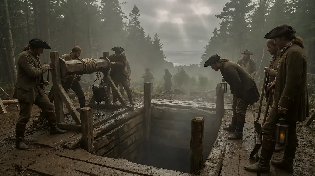
In June 1752 a British army tunneling engineer named William Bontein received an unusual set of orders. He was to be taken off active duty, sent first to Camborne, the center of the Cornish tin-mining district, and then across the Atlantic to Annapolis Royal in Nova Scotia. His pay was raised from five shillings a day to nine, the extra four to come "out of money for works under order." Two geotechnical engineers based in Canada, Graham Harris and Les MacPhie, believe that order explains the most carefully built feature on Oak Island: the flood tunnel that links Smith's Cove to the Money Pit and has drowned every serious attempt to reach the bottom of the shaft since 1804.
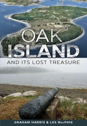
Harris and MacPhie spent their careers on shafts, tunnels and mine stability across five continents. Their book, Oak Island and its Lost Treasure, went through three editions, and the third added a chapter setting out who they think dug the tunnel, how the work was done, and why a government would spend two years hiding something rather than recovering it. Their case rests on pay records, ship movements, regiment strengths and the engineering remains at Smith's Cove. No document they found names Oak Island.
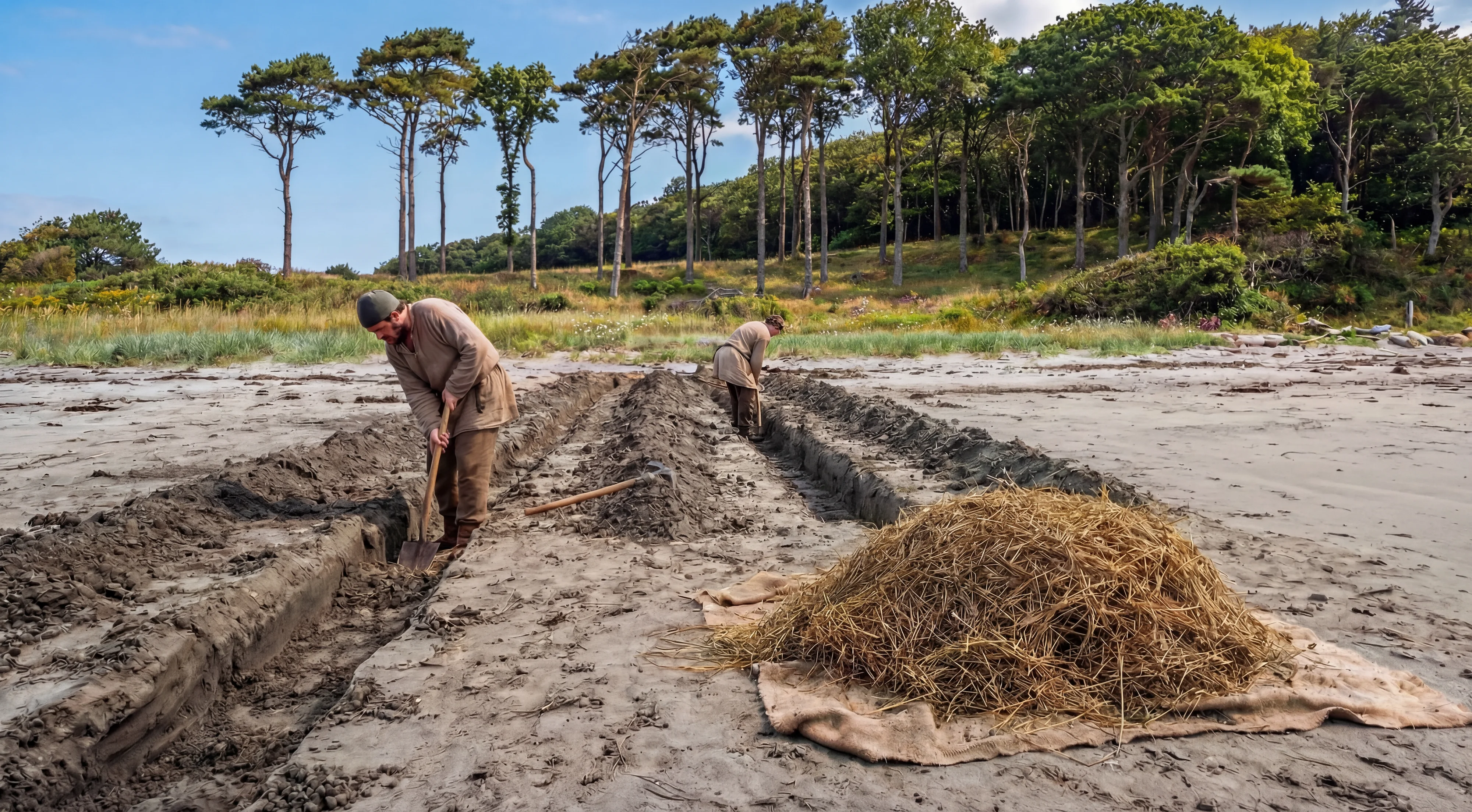 Oak Island Flood Tunnels and Box Drains: The Water Trap→
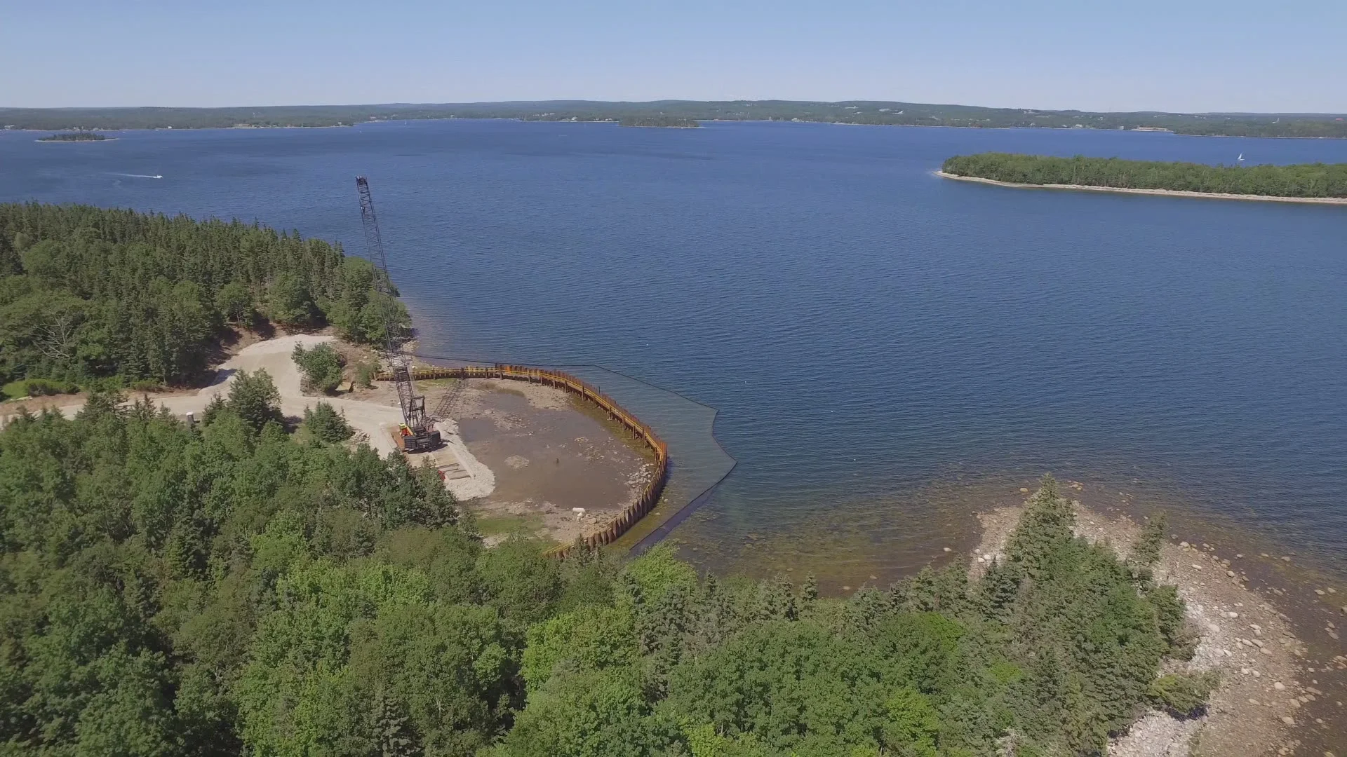 Smith's Cove→
Two Excavations, Decades Apart
2 min
The theory begins with an engineering observation. Harris and MacPhie argue that the Money Pit and the flood tunnel were never one project. A vertical shaft in the island's tough glacial clay is heavy work, but a ship's crew could dig it with picks, buckets and a windlass. The flood tunnel is another matter. It runs about 500 feet from the Money Pit to the beach at Smith's Cove, it was dug through the same clay to a depth well below sea level, and at the cove it feeds from a filter bed of coconut fiber and eelgrass laid over five stone drains. Building it meant holding back the sea with a cofferdam, keeping the tunnel on grade, ventilating a narrow heading hundreds of feet long, and backfilling the finished passage with beach stones. In their view that calls for professional miners and a support crew working for many months, which points to an official body rather than a private one.
Their explanation for the order of events comes from the earlier half of their theory. They propose that Sir William Phips, the Maine-born treasure hunter who had salvaged a fortune in silver from the Spanish galleon Concepción, had his crew dig the Money Pit in the fall and winter of 1688 to hide part of the treasure recovered on a second voyage to the wreck, a share they believe was meant for William of Orange. The first attempt to recover it failed. In their reading, the shaft reached a water-soluble rock called anhydrite at about 167 feet, and pumping or bailing opened channels in that rock that no crew of the period could control. The treasure was lost at the bottom of the pit.
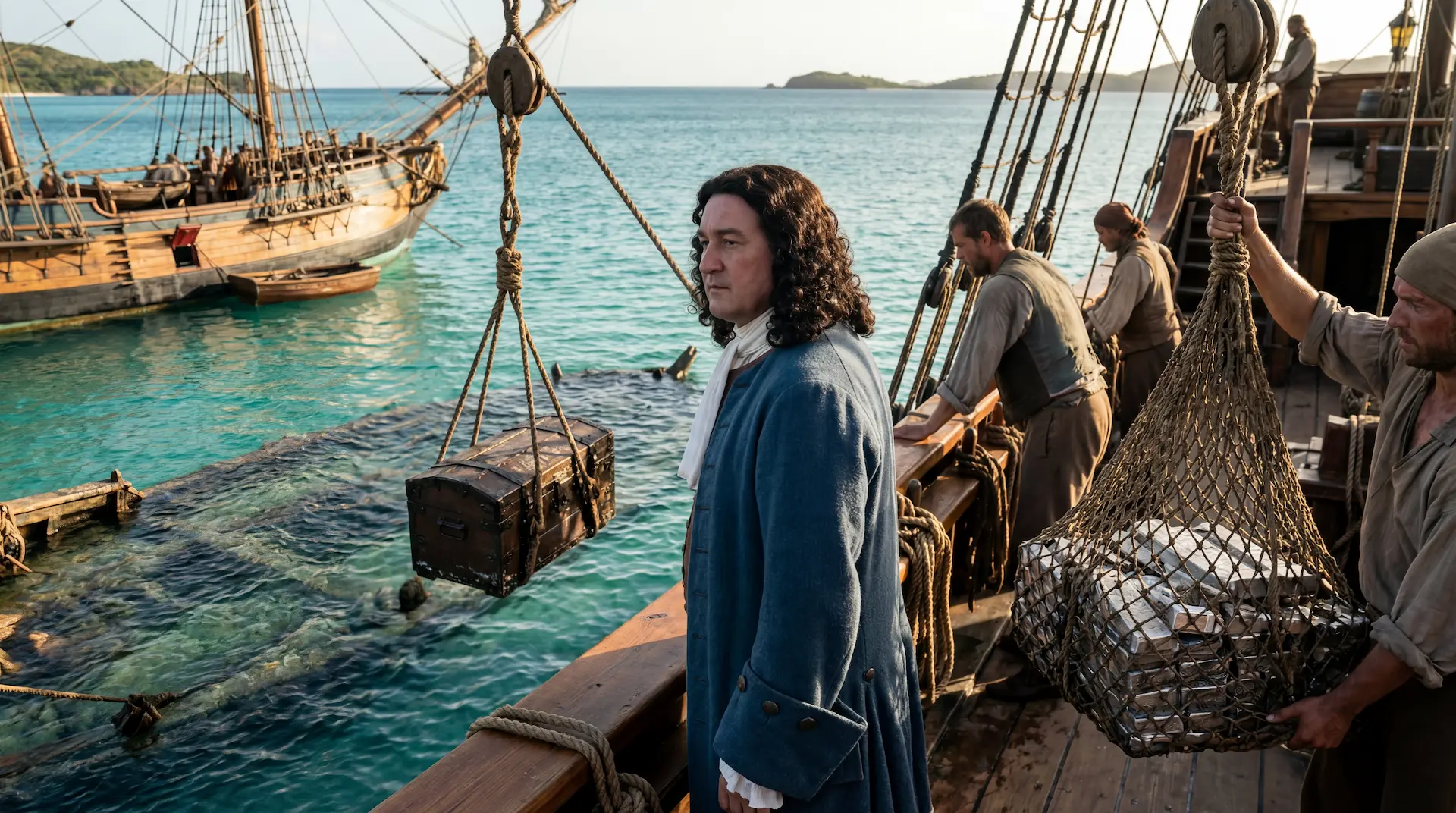 William Phips, the Treasure of the Concepción→
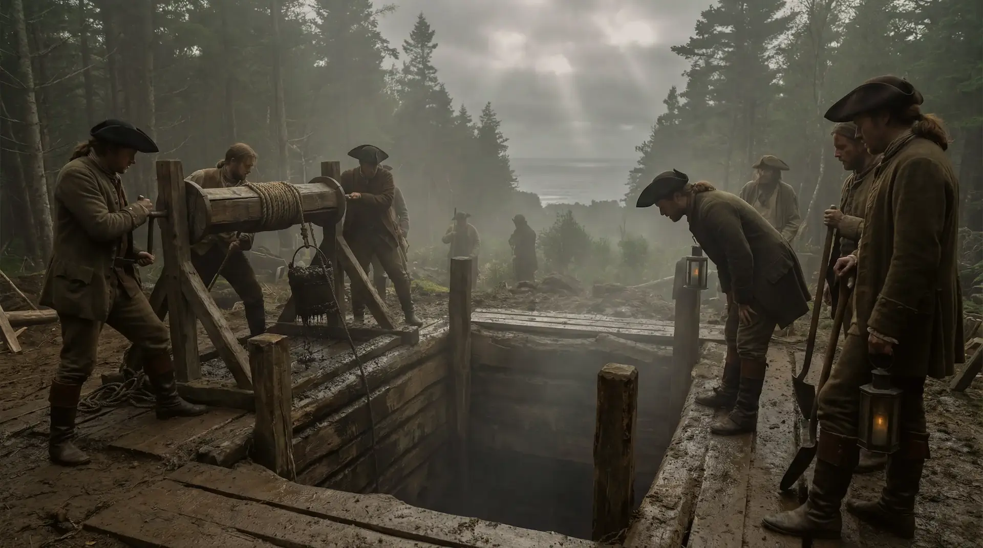 The Oak Island Money Pit→
If the treasure could not be recovered, Harris and MacPhie argue, the next best course was to make sure nobody else ever recovered it. A tunnel that let the Atlantic into the shaft whenever anyone dug below about 110 feet would do exactly that. It would also leave anyone who stumbled on the old workings convinced that the builders had set a trap, and discourage them from going deeper.
An Order to Travel by Way of Camborne
1 min
The search for the builders led Harris and MacPhie to the library of the Corps of Royal Engineers at Chatham, in Kent. There they worked through seventeen handwritten notebooks left by Thomas Connolly, a soldier and clerk at the engineers' establishments at Woolwich and Chatham, who published a two-volume history of the Royal Sappers and Miners in 1855 and kept his research notes. One entry concerned William Bontein, born in 1726 into a coal-mining family at Killearn in Stirlingshire, Scotland, whose elder brother was also an army engineer. The note reads: "Annapolis via Camborne dismissed from June 1, 1752 and thence 4/- a day more out of money for works under order of June 12, 1752."
Harris and MacPhie read the note as a transfer out of regular service to a specific funded project, with a stop in Cornwall to collect miners on the way. An 80 percent pay rise was not customary for an overseas posting. Bontein had made his name tunneling in Flanders during the War of the Austrian Succession, which ended in 1748, and a man with that record would have been the obvious choice for a job that required both skill and discretion. Their reading of the order depends on Connolly's notes, which they quote but which have not been published.
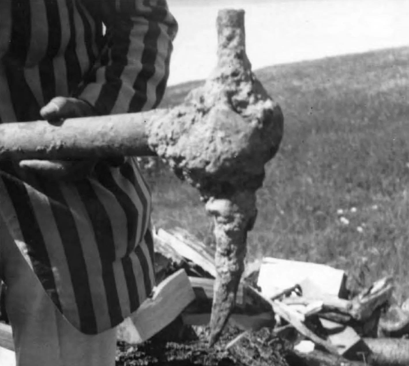 Cornish miner's pick→
They connect the order to a physical object. In 1931 the crew of William Chappell, the Nova Scotia driller who had struck the supposed cement vault in 1897, found a small pick at 127 feet in the Chappell Shaft, standing upright in the fill, with one blunt, cross-hatched end. Harris and MacPhie identify it as a poll pick of the pattern favored by Cornish tin miners and matched it against a published description and sketch in William Morgan's Mining Tools.
 The Chappell Family and the Vault Beneath Oak Island→
Twenty Empty Berths on the Gale
1 min
Bontein still had to cross the ocean. Harris and MacPhie found a likely ship in the London newspapers. The Gale, a 90-ton vessel, was one of the chartered ships carrying German-speaking Protestant emigrants from Rotterdam to Nova Scotia that summer. According to the General Advertiser and the London Daily Advertiser, she put into Carrick Roads at Falmouth, the nearest port to Camborne, at the end of June 1752, an unusual call for an emigrant ship, and sailed again on July 2. She reached Halifax in September after a crossing of about 110 days, with 29 deaths on the way.
The detail Harris and MacPhie build on comes from John Dick, the British government's agent for the emigrant ships. In a letter of December 22, 1752, now in the National Archives at Kew, Dick complained that twenty bed-places were vacant when the Gale left Rotterdam, although the ship's other sailings were always full. The authors suggest the space was held for Bontein, twelve to fourteen Cornish miners and their tools. No passenger list from Falmouth survives to confirm it.
The Engineers Who Could Sign Off on It
1 min
A project of this size needed authority above a single engineer. Harris and MacPhie point to three men. Thomas Lascelles, a veteran military engineer, had headed the Board of Ordnance's engineers as Chief Engineer from 1742 until 1750 and died in 1751, the year before Bontein's order. John Henry Bastide, chief engineer at Annapolis Royal since 1740 and the senior military engineer in the region, would have directed the work on the ground; he later served as chief engineer at the siege of Louisbourg in 1758. William Cowley, a stonemason by training who had built wharves and sea defenses in the Mediterranean and had been posted to Annapolis in 1743, had exactly the skills needed for a cofferdam and a beach intake. Harris and MacPhie credit the concept either to Lascelles before his retirement or to Bastide, with the execution under Bastide's direct charge.
The political timing fits their dates. Peregrine Hopson, governor of Nova Scotia in 1752, chose Merliguesche, the site of the future town of Lunenburg, for a new settlement of foreign Protestants. Lunenburg lies about ten miles from Oak Island. The first settlers landed in June 1753. Hopson left the colony in November 1753 on the grounds of poor eyesight, and Charles Lawrence took charge of the government. Lawrence's supervision of the new settlement kept him in the area during the years Harris and MacPhie assign to the tunnel. They also note that the survey of the Lunenburg area in 1753 was made by Charles Morris, who would later become Nova Scotia's chief surveyor and map Mahone Bay, with the help of James Monck, a relative of Christopher Monck, 2nd Duke of Albemarle, who had been the chief backer of Phips's voyages to the Concepción.
Two Hundred Soldiers Missing from the 47th
1 min
Miners alone could not have built the cofferdam and filter bed. Harris and MacPhie looked for a labor force and found one in the 47th Regiment of Foot, commanded by Colonel Peregrine Lascelles, a relative of Thomas Lascelles. The regiment arrived at Halifax from Ireland in August 1750 with 340 privates and non-commissioned officers, 35 officers, and 209 women, children and servants. Military historians have little to say about its activities in the years that followed.
A War Office letter of April 11, 1755 ordered the regiments in Nova Scotia brought up to strength. The 40th and 45th were each to receive ten sergeants, ten corporals and 300 privates. The 47th was to receive twenty sergeants, twenty corporals, ten drummers and 710 privates, more than double. Harris and MacPhie calculate that this should have given the regiment about 1,100 men, yet it took the field at Louisbourg in 1758 with about 900. They suggest that roughly 200 had been detached to Bastide for work on Oak Island and never returned to the regimental count, and point out that Bastide went to Louisbourg with "eleven engineers, as many miners, and 90 carpenters." Peregrine Lascelles was promoted to major-general on March 27, 1754, when the project would have been nearing completion.
A False Start on the South Shore
1 min
The shortest route from the Money Pit to the sea runs south, about 320 feet to the South Shore. Harris and MacPhie believe the engineers tried it first. In 1965 Robert Dunfield, a California geologist who brought heavy earth-moving equipment to the island, cut a trench 200 feet long along the South Shore and found an eight-foot circular shaft, backfilled, with pick marks on its walls, about 25 feet south of the stone triangle. It could not be matched to any recorded searcher. The next year Dan Blankenship, the Florida contractor who would lead the work on the island for Triton Alliance for decades, deepened it to 90 feet and found a hand-wrought nail at 60 feet, alternating layers of red sandy soil and blue clay from 65 to 77 feet, eight feet of black muck, and a five-foot layer of rounded granite boulders lying in stagnant water, before caving ground stopped him.
Harris and MacPhie read those layers as the work of miners who hit running ground and tried to stabilize the bottom of their shaft with boulders from the beach and peat from the swamp. A tunnel driven upslope at a five percent grade from the South Shore would have needed a shaft about 110 feet deep to meet the Money Pit at the right level. When the shaft could only be held at about 65 feet, the engineers would have faced a choice between a risky, high connection and a longer route. They chose Smith's Cove.
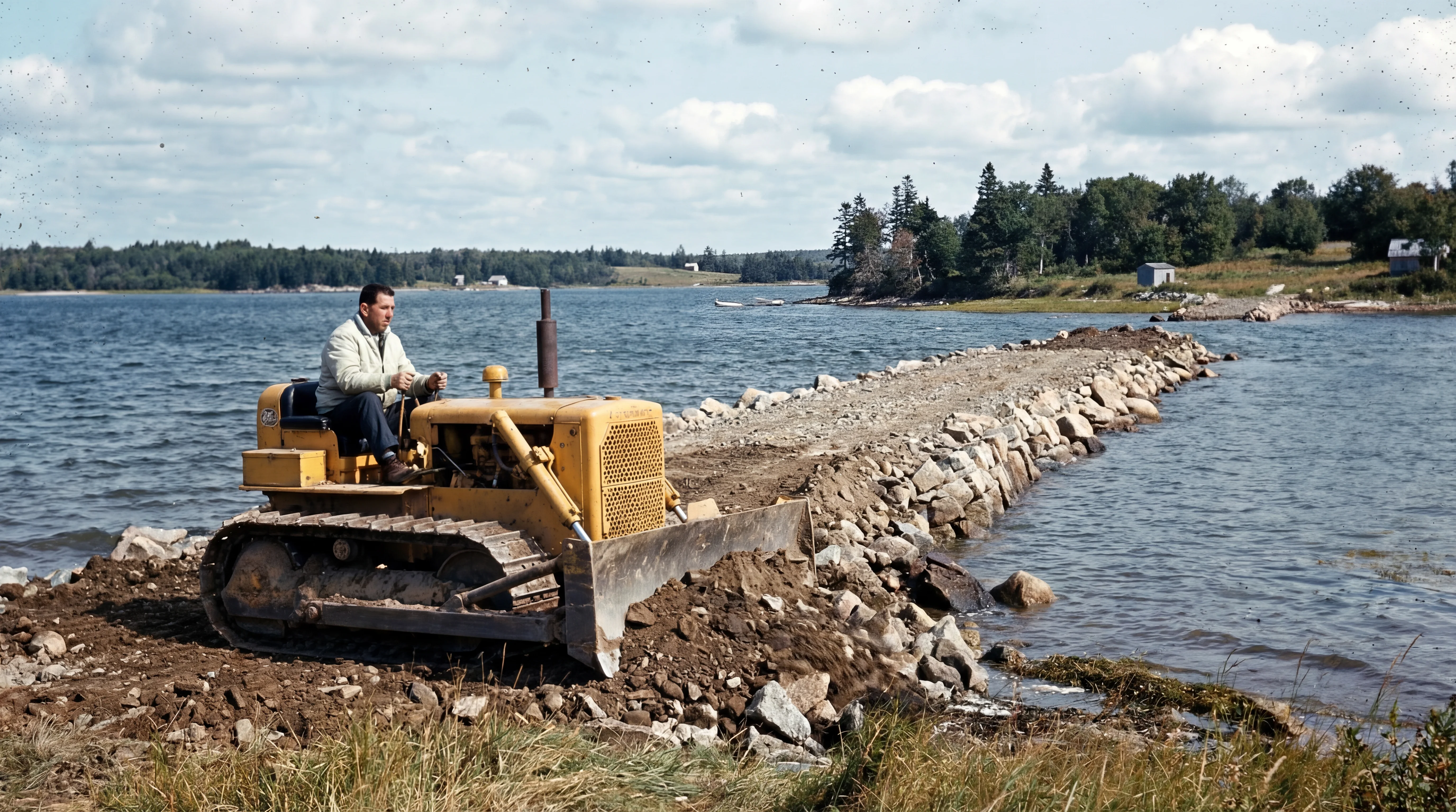 Robert Dunfield and the Destruction of Oak Island→
Five Hundred Feet by Candlelight
2 min
The Halifax Company, which reached the tunnel's mouth inside the Money Pit in 1867, measured it at two and a half feet wide by four feet high and found it packed with round beach stones. Harris and MacPhie compare those dimensions with the rules the Royal Engineers issued in 1824 for military mining in soft ground, which give the smallest workable branch as two and a half feet wide in the clear. In firm glacial till the miners would have set timber frames every four to six feet, driven boards ahead of the face for overhead protection, and used sheeting on the walls only where the ground demanded it.
Their timeline runs as follows. Bontein and his men arrived in the fall of 1752. The failed South Shore shaft took two to three months. By early 1753 a trial shaft at Smith's Cove had confirmed good ground, and in the spring of 1753 full tunneling began from the Money Pit end, with some work from the cove. With only two men able to work at a face, shifts running around the clock except on Sundays, and progress of about two feet a day through bouldery clay, the 450 to 500 feet of tunnel would have taken about forty weeks to dig. Packing it with beach stones would have doubled that, bringing completion to about the fall of 1754. Harris and MacPhie note that by then Bontein was back at Annapolis Royal.
While the miners worked underground, the larger crew would have built the cofferdam at Smith's Cove, excavated the beach, laid the five drains and covered them with coconut fiber and eelgrass. In 1750, by their estimate, sea level in Mahone Bay stood about two and a half feet lower than today, which would have placed the drains just above the low tide of the time. The cove was hidden from passing ships by the oaks on Isaac's Point.
Harris and MacPhie reconstruct the cofferdam from the timbers Triton Alliance exposed at Smith's Cove in 1970: horizontal logs twelve to twenty inches across, inclined hewn timbers pinned with oak dowels at four-foot spacing and marked with Roman numerals, and cross-members that appear to have been lashed rather than nailed. They compare the method with the military stockade walls built in British North America, such as the one reconstructed at Fort Ingall in Quebec. Among the finds from the same excavation were a hand-forged wrought iron caulking tool, the kind of implement a crew would need to keep the seaward face of a timber dam watertight, and a small wooden sled or skip of the size to haul spoil along a narrow tunnel.
 Wrought iron caulking tool (Smith's Cove, 1970)→
When the work was done, the reconstruction continues, the engineers backfilled the Money Pit, left a layer of decoy treasure between two timber platforms just above the tunnel's mouth, breached the cofferdam, and cleared the site. Harris and MacPhie suggest the construction camp stood toward the west end of the island, reached along the old east-west track early treasure hunters noted, and that spoil was spread out or dumped offshore. In 1804 the Onslow Company dug to within about five feet of the upper platform, left for the Sabbath, and came back to a shaft full of seawater.
The Unnamed Island
2 min
The theory has real strengths. It treats the flood tunnel as an engineering problem with a known cost in men and months, and it looks for the only kind of organization in 1750s Nova Scotia that could meet that cost. The people it names were real and in the right places: Bastide was the region's senior engineer, the 47th Foot was in the colony, the Gale did carry emigrants to Halifax in the summer of 1752, and Lunenburg was founded ten miles away in 1753. The Cornish poll pick, the caulking tool and the sled are physical objects that fit the reconstruction.
The links between those facts are inferences. Connolly's note sends Bontein to Annapolis Royal, more than a hundred miles from Oak Island, and does not describe the works. The twenty empty berths could have had many explanations, and no Falmouth passenger list places Bontein or any miner on the Gale. The two hundred men missing from the 47th could reflect deaths, desertions or detachments elsewhere, and Harris and MacPhie acknowledge that some would have died, deserted or been transferred. The authors themselves write that they cannot present incontestable proof.
Parts of the physical record also point in other directions. Dendrochronologist Colin Laroque of the University of Saskatchewan dated wood from the U-shaped structure at Smith's Cove to 1769, too late for a cofferdam built in 1752 to 1754, while radiocarbon dates from the same area run from the medieval period to the nineteenth century. Harris and MacPhie themselves allow that the log structure could be part of the Halifax Company's cofferdam of 1866. On the South Shore, they attribute the water link between the Money Pit and the sea to natural channels dissolved in the anhydrite by generations of pumping, not to a second tunnel. Marine geologist Gordon Fader and author Joy Steele go further and argue that the island's flooding can be explained largely by natural groundwater, without an engineered tunnel at all.
Oak Island Flood Tunnels and Box Drains: The Water Trap→
What can be established is that the British army had the engineers, the miners and the manpower in Nova Scotia in the early 1750s, and that Harris and MacPhie have assembled a timeline in which those resources could have built the flood tunnel between the fall of 1752 and the fall of 1754. Whether they did depends on a document that has not yet been found: an order, a pay list or a letter that names the island. Harris and MacPhie expected that archival evidence might one day corroborate their reconstruction, or conflict with it.
Sources
1 min
Primary documents, as cited by Harris and MacPhie
- Thomas W.J. Connolly, manuscript research notes for The History of the Corps of Royal Sappers and Miners, seventeen notebooks, Library of the Corps of Royal Engineers, Chatham, Kent (entry for William Bontein, order of June 12, 1752)
- John Dick to the British government, letter of December 22, 1752, on the sailing of the Gale, The National Archives, Kew
- The General Advertiser, London, July 2, 4 and 7, 1752, on the Gale at Falmouth
- The London Daily Advertiser, July 2 and 7, 1752, on the Gale at Carrick Roads and her sailing for Nova Scotia
- War Office letter of April 11, 1755, on the augmentation of the 40th, 45th and 47th Regiments of Foot
- Royal Engineers Establishment, Rules for the Practice of Military Mining in any Soil excepting Rock, 1824
Books and papers
- Graham Harris and Les MacPhie, Oak Island and its Lost Treasure, third edition, Formac Publishing, Halifax, 2013
- Graham Harris, The Golden Reef of Sir William Phips, Booksurge Publishing, Charleston, 2005
- Graham Harris, "The Oak Island Treasure: The Military Cover-Up 1752-54", address to the Oak Island Tourism Society, 2007
- Graham Harris, "The Oak Island Cofferdam", Imperial Engineer, Issue 11, Autumn 2009
- Thomas W.J. Connolly, The History of the Corps of Royal Sappers and Miners, two volumes, Longman, Brown, Green and Longmans, London, 1855
- Whitworth Porter, History of the Corps of Royal Engineers, Volume 1, Longmans, Green, London, 1889
- William Morgan, Mining Tools
- Dan Blankenship, Periodic Reports on Oak Island Operations 1966 to 1994, compiled by Les MacPhie, private publication, 2012
- Joy A. Steele and Gordon B.J. Fader, Oak Island Mystery Solved, second edition, 2018