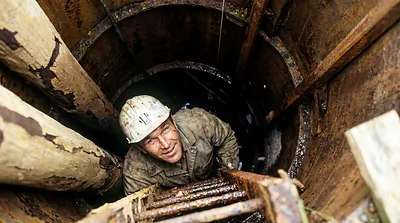
Dan Blankenship and Borehole 10-X
Dan Blankenship gave up everything for Oak Island. In 54 years he drilled the deepest shaft, surv...

Drilled 1970 by Golder Associates, 250 ft
Geotechnical hole, April 1970. Loose sand and gravel with very angular sandstone 147 to 156 (used for the blue dye test); control pollen samples 215 to 218 were glacial.
Positions on the map are approximate; each dot marks the top of the hole.
Rows are in depth order; the column on the left is the hole, and a figure between rows is the stretch with nothing logged. Depths as reported by each source.



As an Amazon Associate I earn from qualifying purchases.
Dan Blankenship gave up everything for Oak Island. In 54 years he drilled the deepest shaft, surv...
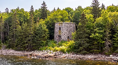
Lot 5 on Oak Island began as a 13-foot stone circle and became a buried complex of two foundation...

What might actually be buried beneath Oak Island? A five-foot golden candelabrum from Solomon's T...