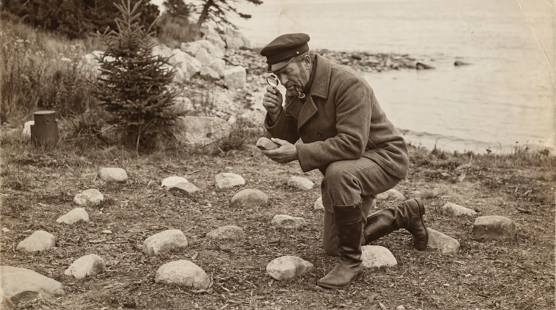
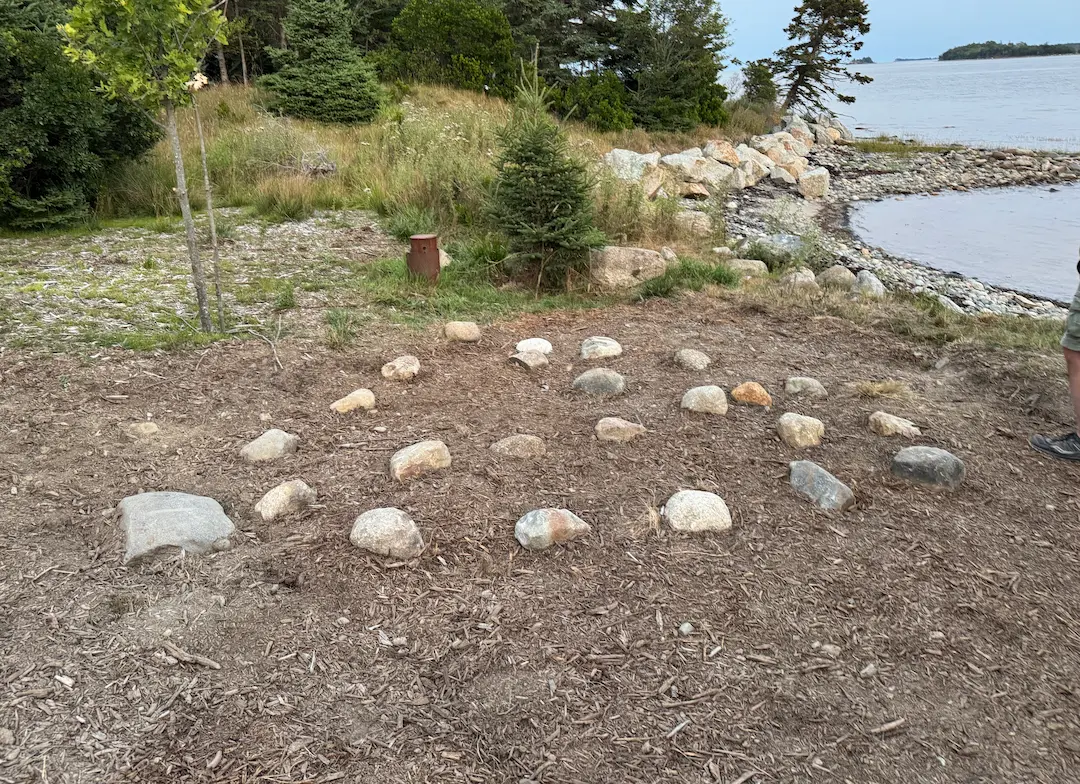
In 1897, Captain John Welling arrived on Oak Island to assist treasure hunter Fred Blair with the latest round of excavations at the Money Pit. Welling and his partner William Chappell had invested in Blair's operation, and between drilling runs the three men explored the surface of the island for features that earlier searchers might have missed. On the south shore, just above the high-water mark, they found one. It was an equilateral triangle made of round beach stones, each roughly the size of a man's head, set into the grass on the bank above the waterline. Each side measured ten feet. Welling and Chappell interviewed earlier searchers who had worked on the island, and none of them had known the triangle was there.
The triangle was not a simple three-sided shape. A medial line of identical beach stones ran from the base to the apex. This line did not connect to the midpoint of the base but to a point four feet from the west corner and six feet from the east corner. Below the base, a curved line of stones extended three feet outward and connected both corners, giving the entire formation the outline of a sextant. When the medial line was extended northward, it pointed at true north, directly toward the Pole Star. Extended further across the island, it ran to the immediate area of the Money Pit.
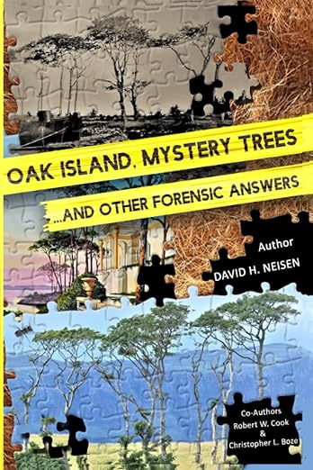
 The Stone Triangle→
Lost and Found
After Welling's discovery, the triangle disappeared under vegetation. For forty years it sat buried in underbrush on the south shore while successive treasure hunters focused their attention underground. It was Fred Blair who remembered it. In June 1937, when New Jersey businessman Gilbert Hedden returned to Oak Island for his second summer of excavation, Blair's attorney R. V. Harris showed Hedden a recently published book titled Captain Kidd and His Skeleton Island by the English author Harold T. Wilkins. The book contained a map of an unnamed island that bore similarities to Oak Island: matching shoreline configurations, two hills separated by a lagoon, and an X positioned where the Money Pit would stand. The map carried a legend reading "W.K. 1669" and a handwritten list of distances and bearings.
Hedden was fascinated. He began searching for surface markers that might correspond to the measurements on the Wilkins map. Blair then told him about two features discovered decades earlier: a white granite boulder approximately fifty feet north of the Money Pit with a hole 1.25 inches wide drilled through its centre, clearly by human hands, and the stone triangle Welling had found in 1897. On August 15, 1937, Hedden sent his crew to search. A workman named Amos Nauss was clearing underbrush with a hoe above the south shore when he struck one stone, then another, then another, all in a line. The rest of the crew helped Nauss clear the area, and the triangle emerged from the overgrowth exactly as Welling had described it forty years earlier.
The Roper Survey
Hedden examined the triangle and immediately noticed the sextant-like curved baseline and the medial line pointing north. He then followed the sightline from the triangle toward the drilled white granite boulder Blair had described, and beyond it he found a second granite boulder that had been drilled in exactly the same way, with its hole aligned with the hole in the first. The second stone sat near the shoreline at Smith's Cove. The holes in both boulders were two inches deep and 1.25 inches wide, and they were unquestionably man-made.
Hedden hired a land surveyor from Halifax named Charles Roper, who was brought to the island by boat the following day, August 16, 1937. Roper's measurements established that the distance between the two drilled boulders was almost exactly 25 rods, approximately 415 feet. Using the distances listed on the Wilkins map, Hedden instructed Roper to find a point 18 rods east of the Smith's Cove boulder and 7 rods west of the boulder near the Money Pit. Roper did so and found himself standing next to the Cave-in Pit. Hedden then told Roper to lay a course from that point directly toward the south shore. At a distance of 30 rods, Roper struck the medial line of the stone triangle just below its east-west base. It was then that Roper made the connection that the medial line of the triangle pointed perfectly due north, directly at the Pole Star, and that when followed northward it led to the centre of the Money Pit.
The sightlines of the drilled boulders ran through the medial line of the triangle and into the centre of the Money Pit. Three separate features, the triangle on the south shore, the drilled boulders spanning the width of the island, and the Cave-in Pit, all fell on connected lines that converged at one point. Hedden wrote to President Franklin Roosevelt on September 1, 1937, detailing his discoveries. He told Roosevelt he had reached several conclusions: that complicated engineering had been carried out on the island for some purpose a long time ago, probably as early as 1640; that the early legends of the discovery of the shaft, the tunnels, the fibre, and the inscribed stone could be substantiated; and that whoever designed the original works had placed the drilled stones and the triangle so the location of the Pit would never be lost to them. Roosevelt replied warmly, writing that Hedden's letter recalled the semi-serious efforts at Oak Island he himself had taken part in nearly thirty years earlier.
 Stone Triangle→
Destroyed
In 1965, American petroleum engineer Robert Dunfield leased the eastern end of Oak Island and brought in heavy earth-moving equipment for what became the most destructive excavation in the island's history. Dunfield's operation tore through the Money Pit area with a 70-ton digging crane, excavating a pit 140 feet deep and 100 feet wide before the walls collapsed. In the process, the surface archaeology of the eastern end of the island was obliterated. The stone triangle, which had survived undisturbed on the south shore for at least 68 years since Welling first found it, was destroyed. No detailed photographs of the original formation are known to exist. The triangle that stands on the island today is a reconstruction, placed at the approximate location of the original based on Roper's 1937 survey data and earlier descriptions. The sextant curve, the medial line, the precise placement of each stone are gone.
Who Built It
Three candidates have been proposed. The first is the original depositors, whoever engineered the Money Pit and its flood tunnel system. In this reading, the triangle was part of the same surveying infrastructure as the drilled boulders: a system of surface markers designed to allow the builders to relocate the shaft from the south shore after they had sealed it. The sextant shape and the true-north alignment of the medial line suggest builders with knowledge of celestial navigation and surveying. The fact that none of the earlier searchers interviewed by Welling in 1897 knew of its existence argues against it being the work of any 19th-century search party.
The second candidate is one of the early excavation companies. The Onslow Company (1804) or the Truro Company (1849) might have placed a marker to help them relocate the Pit on return visits. This would explain the triangle's location above the high-water mark, visible from a boat approaching the south shore. It would not explain the true-north medial line, the sextant curve, or the connection to the drilled boulders, which predate any known search company. Hedden himself believed the triangle was the work of the original builders, not later searchers.
The third candidate is Charles Morris, the Freemason and provincial surveyor who first surveyed Mahone Bay in 1762. Morris was responsible for the official survey that divided Oak Island into 32 four-acre lots. He had the skills and the reason to leave survey markers, and the equilateral triangle is a geometric form with deep significance in Masonic tradition. Fred Blair and Gilbert Hedden, both Freemasons themselves, would have been aware of this connection. Whether Morris would have constructed a sextant-shaped formation with astronomical alignments to mark a routine land survey is a separate question.
 Freemasons on Oak Island, the Masonic Connection→
The Dating
For more than a century, the triangle's age was a matter of speculation. That changed during Season 11 of The Curse of Oak Island. Rick Lagina asked archaeoastronomer Professor Adriano Gaspani to analyse the Stone Triangle using the same methodology Gaspani had applied to Nolan's Cross and the Lot 15 stone cairns. Gaspani had previously dated Nolan's Cross to approximately 1200 AD and the Lot 15 cairns to approximately 1250 AD by calculating which stellar positions the formations would have aligned with at the time of their construction.
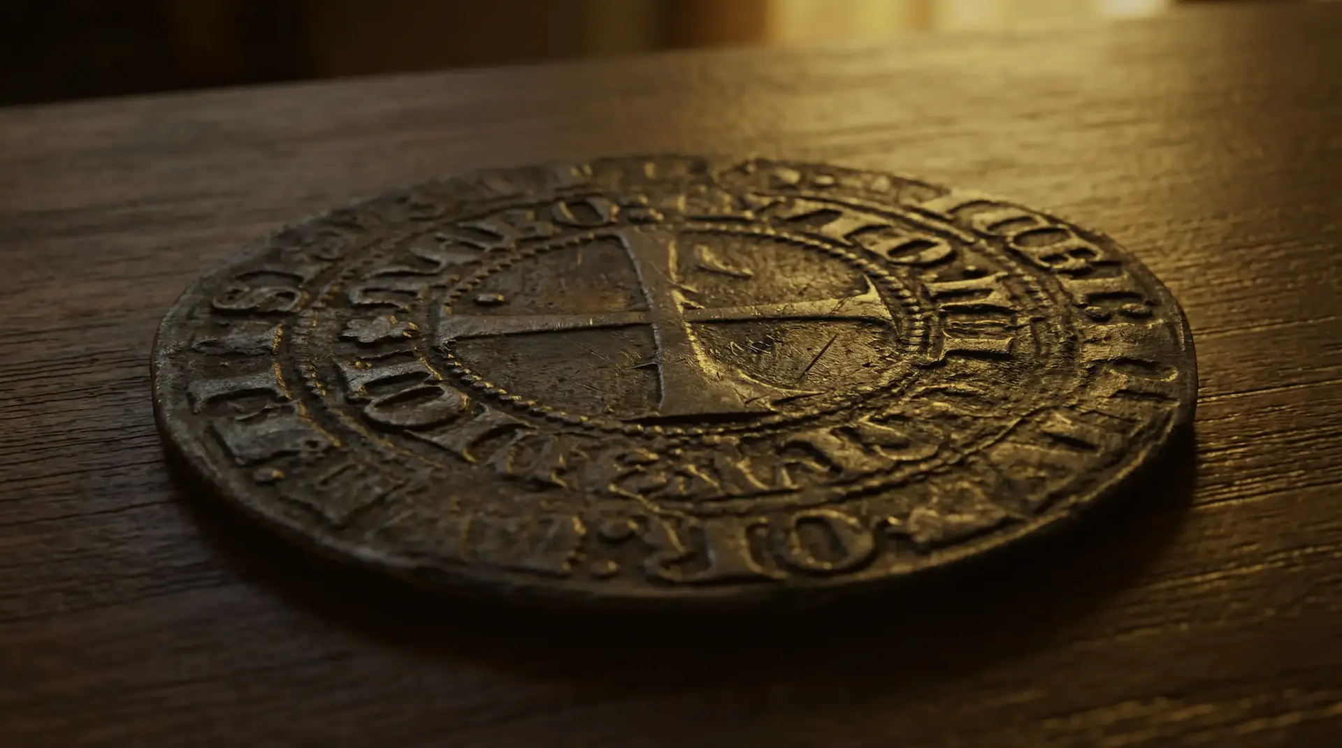
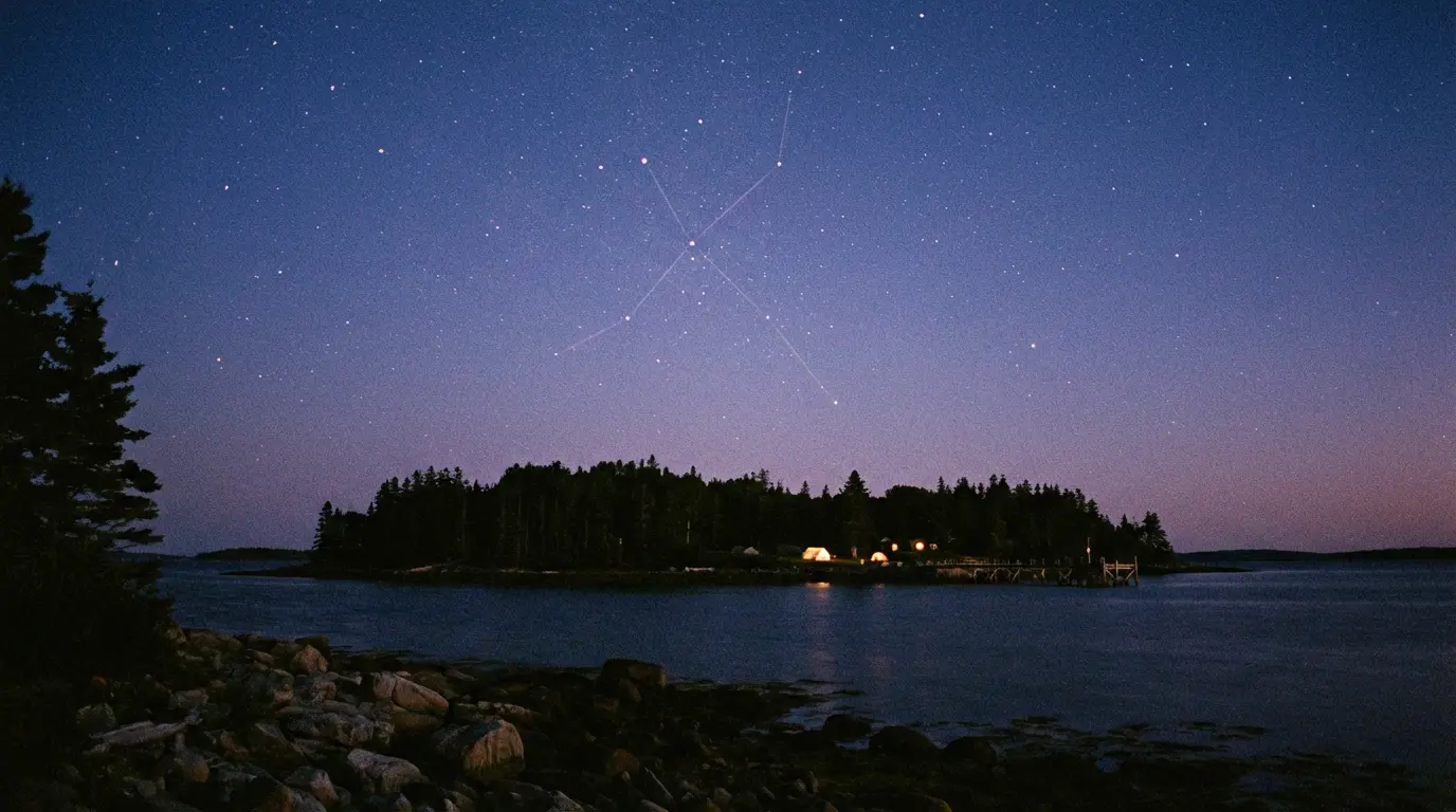
In his analysis of the Stone Triangle, presented in Season 11, Episode 17 ("Piling On"), Gaspani identified two astronomical lines encoded in the formation. They corresponded to sunrise and sunset at the winter solstice. His conclusion was unequivocal: between 1200 and 1300 AD, people arriving from Europe had encoded messages by arranging stones in astronomically significant patterns. The knowledge required to do this belonged to monastic, religious, and knightly orders rather than common people. He identified the Templars as the most likely builders of Nolan's Cross, the Stone Triangle, and the stone cairns.
Three stone formations on a single small island. Three independent analyses by the same archaeoastronomer. All three dated to the same century. All three encoding astronomical information that required sustained observation and precise placement. The Stone Triangle, Nolan's Cross, and the Lot 15 cairns appear to be the work of the same builders, operating on Oak Island during the 1200s, roughly six hundred years before Daniel McGinnis found the depression in the ground that started the modern treasure hunt.
 The Oak Island Star Map→
The Mallon Triangle
The Welling triangle was not the only triangular formation reported on the south shore. In 1972, a man named P. J. Mallon from Northern Ireland discovered three medium-sized stones arranged in a triangular pattern approximately 480 feet southeast of the Money Pit. The sides measured ten feet by ten feet by nine and a half feet. Mallon told author Rupert Furneaux, who published the account in The Money Pit Mystery, that the stones were covered in moss and difficult to see, and that he had been specifically looking for such a formation. Mallon's theory was based on ancient Irish land drainage systems, in which stone triangles or stone arrows were used to mark gates in the drains. He proposed the triangles on Oak Island functioned as pointers rather than symbols. The Mallon Triangle no longer exists, and no archaeological survey of it was conducted before it disappeared. A rare photograph of the formation, taken around 1974, is the only record that it was ever there.
What survives of the original Stone Triangle is Roper's survey data, Hedden's letter to Roosevelt, the descriptions in Blair's correspondence, and Gaspani's astronomical analysis. The physical formation itself, the round beach stones Amos Nauss struck with his hoe on a summer afternoon in 1937, the sextant curve that gave the whole thing the look of a navigational instrument, the medial line pointing true north to the Pole Star and south to the Money Pit, all of it was scraped away in 1965 by a man with a crane who was looking for treasure and found nothing. What he destroyed may have been the clearest piece of evidence the original builders left on the surface of the island.