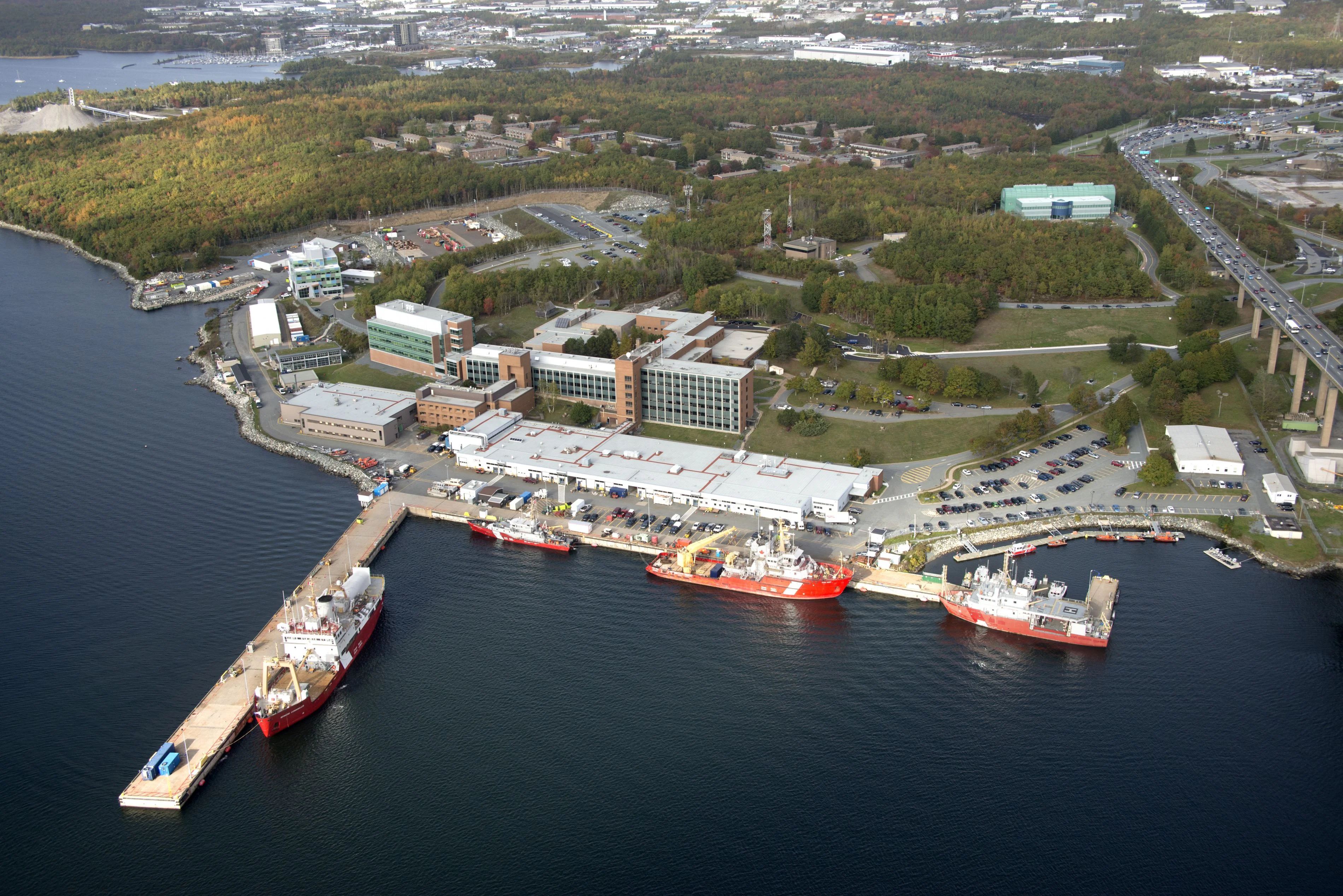
Canada's largest centre for ocean research, located on the Dartmouth waterfront across Halifax Harbour. Home to scientists from Fisheries and Oceans Canada and Natural Resources Canada who provided the Oak Island team with critical bathymetric data on historical sea levels around the island.
About This Site
The Bedford Institute of Oceanography is the largest centre for ocean research in Canada, located on the shore of Bedford Basin in Dartmouth, Nova Scotia. Established in 1962, it houses scientists and researchers from multiple federal departments including Fisheries and Oceans Canada and Natural Resources Canada. The institute's work encompasses marine geology, hydrography, ocean chemistry, and coastal studies across the North Atlantic.
The facility maintains extensive archives of bathymetric survey data covering the waters of Atlantic Canada, including detailed records of seafloor topography and historical sea level measurements for the Mahone Bay region.
Connection to Oak Island
In Season 3, Episode 8, Jack Begley, Alex Lagina, and Charles Barkhouse travelled to the Bedford Institute to consult with oceanographer Dr. Bob Courtney. The visit focused on obtaining bathymetric data from the waters surrounding Oak Island, with the team seeking to understand how sea levels and coastal conditions had changed over the centuries.
During the visit, the team also followed up on Fred Nolan's earlier description of a timbered wall he had observed between the swamp and the beach: sawn square timbers stacked one atop another, extending down 12 feet and spanning roughly 12 feet in width.
By the following episode, the Bedford Institute's data had confirmed that sea levels around Oak Island were one to two metres lower 300 to 400 years ago. This finding carried significant implications for the investigation, as it meant that stones and structures now submerged could have been exposed and deliberately placed as markers visible only to those who knew where to look. The data supported the theory that features discovered in the waters around the island, including aligned rocks found by Tony Sampson, may have been intentional navigational aids rather than natural formations.
Fieldwork Notes
The team visited the Bedford Institute in person during Season 3. Jack Begley, Alex Lagina, and Charles Barkhouse made the trip to Dartmouth to meet with Dr. Bob Courtney and review bathymetric records. The resulting sea level data became a recurring reference point in subsequent seasons whenever the team discussed submerged features or historical coastal conditions.